
Summary
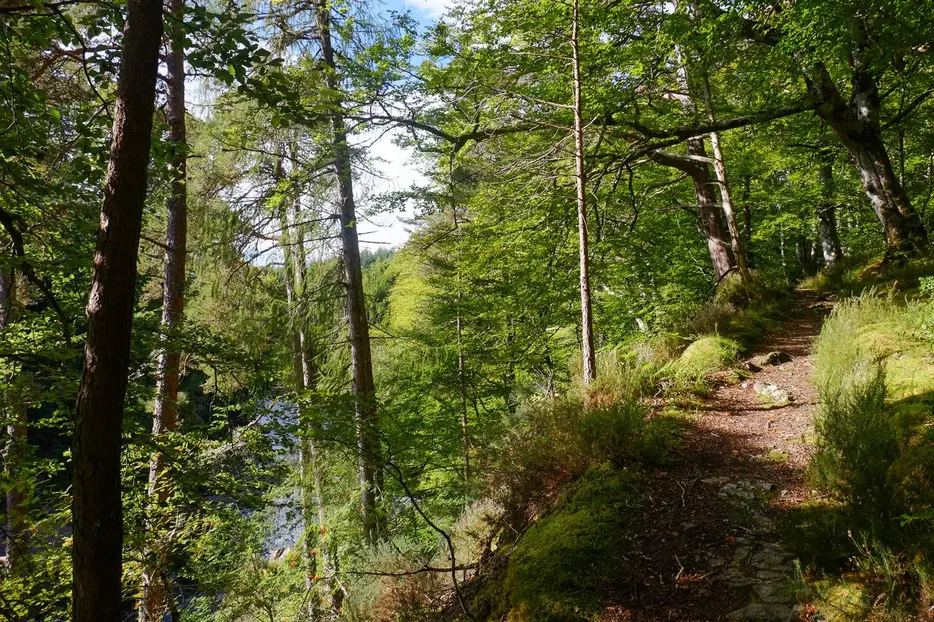
This excellent forest walk feels much more adventurous than you might expect from the map. It explores the western side of the dramatic gorge carved by the River Findhorn. The narrow path passes close to the edge of vertical drops down to the swirling waters.


Terrain
Forest paths, muddy at times and often with steep drops on one side - great care needed.
Getting there
Start
Dunearn Burn car park, Darnaway Forest.
Public Transport
None to start.
Start Grid Ref
NH996513

Stage 1
There is a parking area off the east side of the minor road that leads south from Conicavel through Darnaway Forest. Begin by taking the path from the large sign board; it leads gently downhill through the trees, eventually crossing a small burn - the footbridge shown here on some maps has been removed, but the crossing is easy unless it has been very wet. Shortly after the path climbs to reach a junction with a grassy track - turn left along this. The track bends round to the right and then cuts sharply left as a narrow path; follow this downhill.

Stage 2
The path eventually bears right and zig-zags down steps, with good views at first to the Dunearn Burn and then to the Findhorn itself, with a couple of viewing areas (one of which is overgrown). The path then begins to run along the side of the gorge, heading upriver. Ignore a green marker which indicates where a short cut back to the start turns off to the right. Instead follow the 'red' path as it zig-zags to the left and continues winding around the gorge sides.

Stage 3
Take care with the drops beside the path, which is muddy in places and has wooden boardwalks in others. It continues winding along the gorge side, maintaining a fairly constant height. Ignore steep wooden steps on the left - these are used by fishermen. A short distance further on the path passes the front of a wooden fishing hut. Ignore the track above this and instead keep on the gorge path on the left side of the hut.

Stage 4
Pass the Mill Burn and the Scuddach - further fishing spots off to the left. Look out across the river for glimpses of the impressive Logie House. Eventually a red arrow marker indicates the place to leave the gorge, turning right up a few wooden steps. The path curves left and then right before ascending slightly to a t-junction. Turn left here, eventually meeting a track. Turn left again along this, keeping left at another junction (which may not be noticed). Finally at a junction with a larger track turn right. Follow the track as it swings left, ignoring branch tracks on either side. The last of these is the green trail rejoining from below. Continue ahead to return to the start.

Route Profile
