
Summary
This out-and-back walk links the town of Thurso to its busy modern port and ferry terminal, Scrabster. It can be done for its own merit, or as the first part of a longer walk around Holburn Head. The time and distance given is for the return walk, but it is also possible to catch a bus back to town.


Terrain
Pavements and good cliff-top paths
Getting there
Start
Riverside car park, Thurso.
Public Transport
Thurso is served by both buses and trains.
Start Grid Ref
ND119684

Stage 1
The walk as described here begins from the Riverside car park in Thurso, set to the east of the main street. Begin the walk by following the river downstream towards the harbour. The ruined church over to the left is St Peter's, dating back to the 13th century.

Stage 2
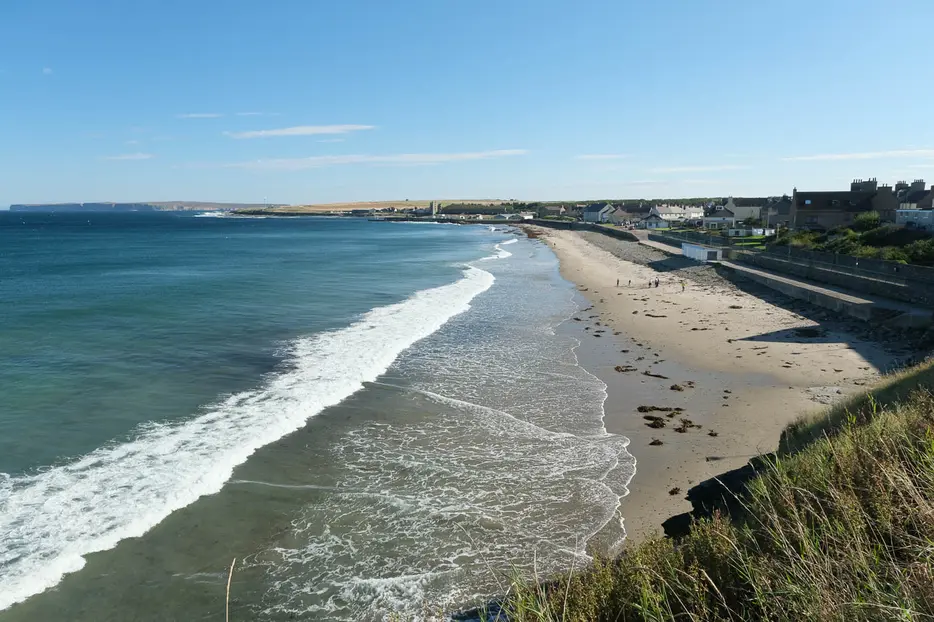
Keep following the river towards the sea and then round the corner and almost double back to reach Thurso beach. Follow the walkway above the back the beach, passing the old pavilion, now a cafe. The far end of the beach ends in a cliff. Head up the flight of steps, forking right part way up to climb more steps and keep to the coastline.

Stage 3
Soon a grassy area is reached with some stone seats for enjoying the views back across the bay. Continue on the obvious coastal walkway above the cliffs, passing the campsite at first and rounding the back of a couple of small rocky inlets known as geos.

Stage 4
For much of the way the left hand side of the path is enclosed by vertically-placed flagstones, a most effective form of fencing commonly used in this area, making use of the local Caithness flagstones. At one point there is a sea-stack just offshore, and throughout this section the views to Scrabster and out across the sea towards Hoy are excellent.

Stage 5
At the far end the walkway heads beside a fence to emerge on a small cul-de-sac. Follow this to the main A9 road, turning right along the pavement but then forking off to the right again onto East Gill by a garage and small coastguard building.

Stage 6
East Gill runs between the cliff-tops and the houses; a large stone seat looks out to the busy ferry terminal. The road briefly becomes a footpath before emerging on the A9 once more. Follow the pavement for the final descent to reach Scrabster and the ferry terminal. There are a couple of cafes and a pub here for refreshments before you walk back the same way. Alternatively you could extend the walk by following the excellent Holburn Head circular route before the return.

Route Profile
