Summary
This short ascent on forestry tracks leads to the summit of Cairn-mon-earn - a very fine viewpoint for Deeside, above the Durris Forest.


Terrain
Forestry track, short path to final cairn.
Getting there
Start
Forestry parking at NO780909.
Public Transport
None to start.
Start Grid Ref
NO780909
Summits Climbed
- Sub 2000
- Cairn-mon-earn

Stage 1
The walk starts from a parking area in Durris Forest a short distance up a track off the A957 - the parking is on the right just before a gate. Begin the walk by walking past the gate and on up the track.

Stage 2
Stay on the main track when it turns left - ignoring a smaller track ahead. Further on, at a fork, take the left hand branch to continue uphill, and then keep left again at a third fork. The track eventually climbs up towards the many masts on the top of the hill.

Stage 3
Pass the masts; the highest point - with a trig point and a massive old cairn - is just off to the left. This is the highest hill east of the Banchory - Stonehaven road and the views are very extensive.

Stage 4
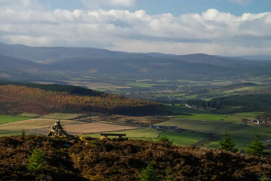
The best viewpoint, however, is from a second cairn a couple of hundred yards to the west - the perfect spot from which to enjoy the wonderful view up Deeside. After enjoying the panorama, retrace your steps back to the start.

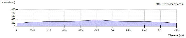
Route Profile