Summary
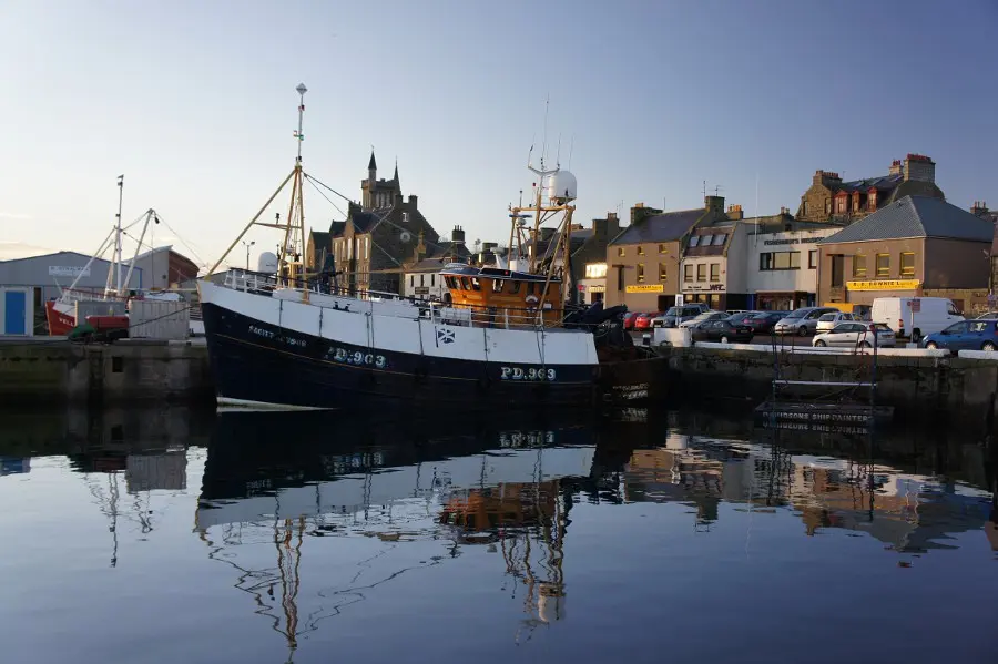
The final section of the Formartine and Buchan Way crosses rural agricultural Aberdeenshire before reaching the traditional fishing port of Fraserburgh which has plenty of services, a lighthouse museum, and interesting harbour.


Terrain
Shared cycle track, sometimes muddy, some stony sections
Getting there
Start
Bridge St (A981) in Strichen.
Public Transport
Buses to Strichen and Fraserburgh.
Start Grid Ref
NJ945550

Stage 1
Pick up the Formartine and Buchan Way just south west of Strichen by following the A981 (Bridge Street) over the North Ugie River and turning left to return to the old railway line. As it passes Strichen there are some good views of the white horse on the hill to the left overlooking the fine stone buildings of the town.

Stage 2
After crossing a busy minor road on a bend the Way heads into more remote farmland. As Clayfords is passed the white horse becomes more prominent on Mormond Hill to the left, although the nearby masts are also a local landmark. Continuing ahead three wind turbines can be seen and this fairly exposed flat area is often windy.

Stage 3
A number of features of the old railway are passed including bridges, cuttings, station platforms and old linesmen's huts, one of which has been commandeered as a stable.

Stage 4
After passing a small pond on the left, popular with ducks and moorhens, the Way crosses flat farmland, heading through gorse bushes in places and areas of wildflowers providing colour in spring and summer. Some of the ground can be muddy in places before the final stretch to Fraserburgh.

Stage 5
Eventually the dunes and golf course come into view ahead on the right. Once across the B9033 the Way keeps to the left of the dunes before heading through a children's play area to emerge at the Esplanade on Fraserburgh Bay. Although it is possible to continue straight ahead to reach the harbour, the official route keeps walkers and cyclists off the road and instead heads left through the underpass and then right on a footpath in front of the office building and to the right of the recreation grounds. Head up through the park, keeping to the left of the open grass and passing the backs of houses on the left.

Stage 6
The path slopes diagonally to the right to emerge near a leisure centre. Turn left along Seaforth Street and take the next right to reach South Harbour Road which soon reaches the harbour where large amounts of shellfish and white fish are still landed. To reach the town centre take one of the small streets heading left uphill from the harbour.

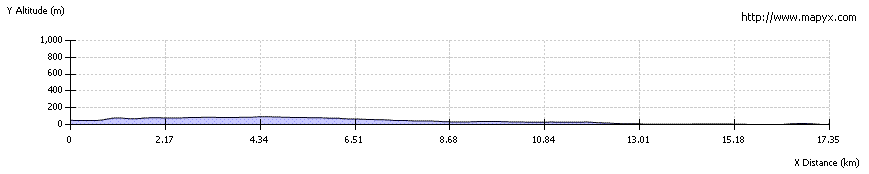
Route Profile