
Summary
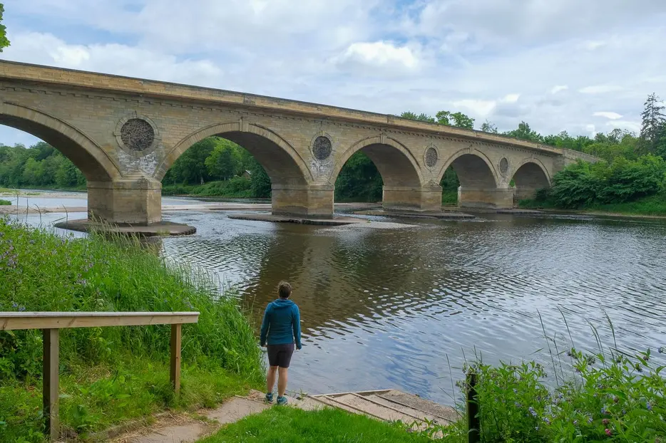
Follow the banks of the mighty River Tweed which forms the Scottish - English Border on this lower stretch. This straightforward walk uses the woodland paths that encircle Coldstream and gives a flavour of the town's history. Coldstream has a historical association with the Coldstream Guards who have links with the town dating back to 1660 when General Monk set off from the town on his march to London to restore the Stuart throne.


Terrain
Paths, road pavements, riverside and woodland paths and tracks. Can be muddy in places in wet weather.
Getting there
Start
Home Park car park, Coldstream.
Public Transport
Bus to Coldstream.
Start Grid Ref
NT840396

Stage 1
Start from the Home Park car park just off the main street towards the western end of Coldstream. Leave the car park and go back onto the main road and turn right. Cross the road and just before the bridge turn left down steps. Continue ahead to pass the former almshouses up on the left and at then corner of the road continue to follow the flagged Penitent's Walk along the grass towards the Tweed. At the end of Penitent's Walk go past a gate ahead into a grassy field next to the river and follow the river bank to the left.

Stage 2
Continue ahead past some benches and follow Nuns Walk above the river (ignore the stone steps on the left) to emerge near the Majoribanks monument at the other end of the town. Atop the 70' tall monument is a statue of Charles Albany Marjoribanks, the owner of Lees Estate who was elected as the first MP for Berwickshire after the passing of the reform act in 1832 but only sat until his death in 1833 at age 39. Turn right at the top of the path to head out of town on the pavement. Pass a viewpoint and take the next path on the right down steps into Jacobs Well woods.

Stage 3
Continue ahead by the river, soon reaching the road bridge. Here the Old Toll House or Marriage House above once rivalled Gretna Green for couples wanting to avail themselves of the more relaxed marriage laws in Scotland. Go under the bridge and continue ahead over a footbridge and past a fishing hut. Here go through a gate and keep right on a path between the river and the grassy area known as Crow Green. Eventually just before a fence and trees ahead turn left away from the river and through a gate onto a track. Continue straight ahead over another track and as you start to head uphill towards the back of a large house look out for a waymarked narrow path on the right into the trees which can be hard to spot in summer. This winds uphill through the woods to the old cemetery just outside Lennel which has some interesting graves and is a good spot for wildlife watching.

Stage 4
Retrace your steps back down through the wood and turn left on the track at the waymark. Take the next turn on the right (rather than the gate ahead used on the outward route) and turn left through a gate with the stone wall on your left. Follow the path between two fences along the river before turning right (where a kissing gate is ahead) towards the wall below some woods. Climb the steps or ramp and turn left to follow a woodland path, keeping left when it forks. When a farm gate is reached on the left go straight across the track to follow a narrower path which bears left alongside a stream. Keep left at the next waymarked junction and cross and entrance driveway with gates on either side. Stay on this path, keeping right when it forks. Cross the main road and take the path slightly on the left on the far side.

Stage 5
Follow the path that runs through woodland with fields on the left. Stay ahead on the main path and when it emerges into a field turn left onto a grassy track. Stay ahead on this with houses to the left, stay close to the hedge on the right to soon join a road and keep right when the road splits. At the main road turn right. Further on cross the road to turn left down Bennecourt Drive, named after the French town twinned with Coldstream. Take the next left (North Mews) and continue downhill. Bear right to soon join a track that enters the woods and almost immediately turn left onto a path that takes you back through the wood and later alongside the playing fields. The path ends at a gate; pass through this and turn left to return to the car park.

Route Profile
