Summary
Follow cycle paths close by the River Tweed to reach Cardrona at the half way point before continuing along the old railway line to reach a delightful final riverside path into Peebles.


Terrain
Cyclepaths and footpaths.
Getting there
Start
Innerleithen.
Public Transport
Innerleithen and Peebles both have regular bus services.
Start Grid Ref
NT330346

Stage 1
From Traquair Road in Innerleithen, take the signed cyclepath for Cardrona, that runs alongside a warehouse at first. The route is along the line of the old railway, and this was once the site of the town station.

Stage 2
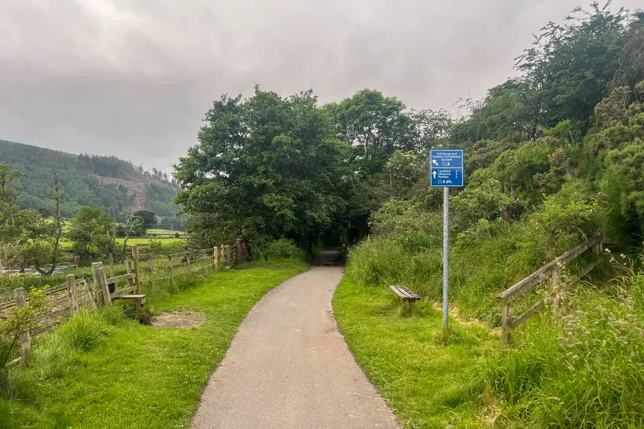
Continue along the cyclepath, keeping straight ahead when it nears the river (ignoring the sign off left for Toll House car park). After just over 3km from Innerleithen the route crosses the mighty River Tweed, then continues until it reaches the edge of the housing at Cardrona.

Stage 3
Continue ahead along Leeburn View until it reaches a t-junction with Cardrona Way. Go right here, then follow the road as it curves left and leads past the village hall. Continue until it reaches a mini-roundabout, then go straight ahead (signed Peebles). The old station once housed a cafe and store (as shown in the photo) but this has closed down; pass across the parking area in front of these to pick up the cyclepath on the old railway line, soon crossing a bridge over the Tweed.

Stage 4
The cycle path - with a tarred surface - crosses a golf course, with a large golf hotel visible over to the right. The Tweed is in view at times to the left, whilst the ruins of Horsbrugh Castle can be seen atop a mound on the right. When a junction is reached by the Eshiels forestry sign, go straight ahead (signed for Peebles and Eshiels).

Stage 5
The cycle track continues through woodland, then with open fields on the right. A waymarker indicates where a path heads up steps on the left to head through the woods parallel to the cycleway; it rejoins the main route further on. As a sewage works is approached bear right along the cycle path. Just before this reaches a tunnel, fork left onto a path - signed ''Peebles via River Tweed'. When a junction is reached go up the steps to meet the main road.

Stage 6
Turn left along the pavement. After a short distance turn left again (FP sign) down a flight to steps to a gate and fields (the detour up to the road is necessary to pass a private house). The route now simply follows the banks of the lovely River Tweed, passing through gates in fences at various points but always returning to the river.

Stage 7
The path passes a footbridge over the Tweed as it enters Peebles. Continue by the river to the main road bridge; head up to this and turn right to head into the town centre.
Next stage: Peebles to West Linton

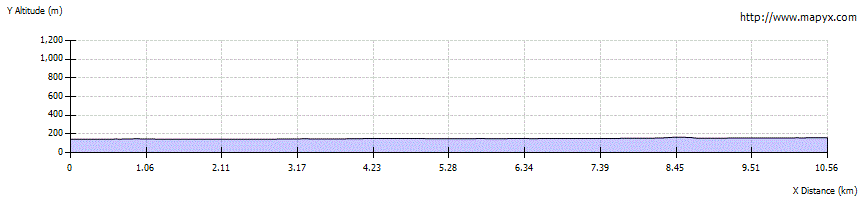
Route Profile