
Summary
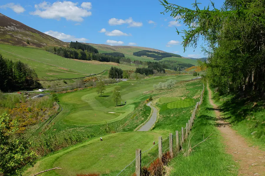
A pleasant woodland and riverside walk following the Leithen Water to the golf course just outside town.


Terrain
Clear, waymarked paths, riverside can be muddy at times.
Getting there
Start
Car park on Leithen Road, Innerleithen.
Public Transport
Bus to Innerleithen.
Start Grid Ref
NT332368

Stage 1
There is a small car park on Leithen Road (B709) on the right hand side as you leave the town centre. From here continue north along Leithen Road heading away from the town centre and passing Leithen Church. Watch out for a signed (Pirn Hill Fort) pathway between houses on the right and take this to cross the Leithen Water on a pretty stone bridge.

Stage 2
Once over the bridge turn left to take the upper path signed Leithen Water Path. This climbs to join another path, keep left and continue through the trees.

Stage 3
Keep on the main path ignoring minor paths on either side and soon passing an area of felled trees. Eventually the edge of the golf course is reached with good views up the valley beyond. Continue on the clear path running between the golf course and the forestry plantation.

Stage 4
Turn left when you reach a forestry track to head downhill (Caberston Forest is very popular with mountain bikers so keep an eye out for cyclists) to emerge on the B709 next to the golf club. Turn left to follow the road and cross the bridge over the Leithen Water.

Stage 5
At the sign for Innerleithen head left off the road to pick up the riverside path just downstream of the weir where there is a salmon ladder and is a popular picnic spot. Follow the riverside path, eventually passing between the river and the backs of gardens.

Stage 6
Where the path splits after the gardens keep right and then immediately left (green arrow) on a sometimes boggy path, soon crossing a footbridge to reach the road. Turn left to follow the road back to the start. The walk can be extended by turning left to cross the bridge again to explore Pirn Hill Fort.

Route Profile
