Summary
Climb through woodland to follow this easy walk to the summit of a 2,000 year old fort where there are stone sculptured panels and stunning views.


Terrain
Partially-waymarked woodland paths, steep short climb to summit.
Getting there
Start
Car park on Leithen Road, Innerleithen.
Public Transport
Bus to Innerleithen.
Start Grid Ref
NT332368

Stage 1
There is a small car park on Leithen Road (B709) on the right hand side as you leave the town centre. From here continue north along Leithen Road heading away from the town centre and passing Leithen Church. Watch out for a signed (Pirn Hill Fort) pathway between houses on the right and take this to cross the Leithen Water on a pretty stone bridge.

Stage 2
From here the route is waymarked in blue until the final summit section to the fort. On the far side turn right to follow the clear path signed Pirn Road. Ahead is an information board about the fort and the route, from here take the rising path to the right, following the blue waymarkers gently uphill through the trees. Turn left at a corner with another path and keep heading uphill.

Stage 3
As the path climbs there are good views over to Lee Pen to the left. Keep straight ahead at a path junction, the right fork is the return route.

Stage 4
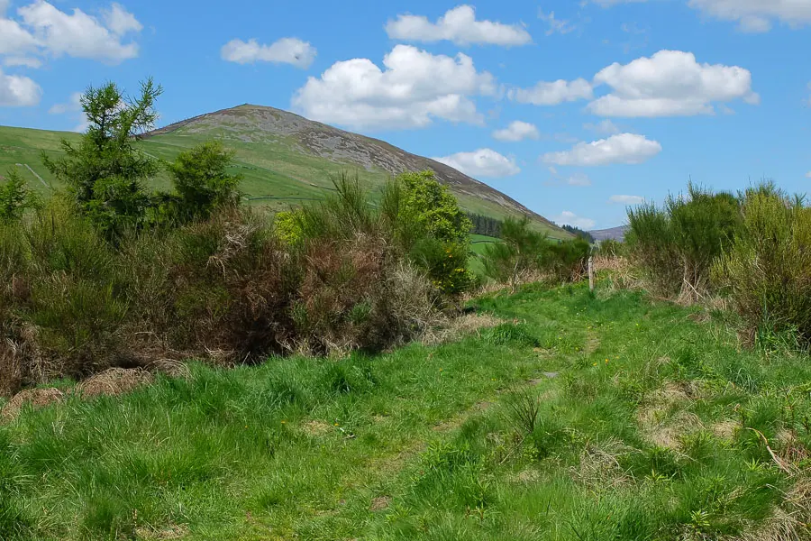
The route skirts the side of the hill with good views along the Leithen Water and to the Moorfoot hills beyond. The route dips and just before climbing to a track, turn right onto a path which follows the lower ground between the fort on your right and Pirn Craig on your left. There is a faint steep path up to the summit from here but our route continues around the far side of the hill. Continue ahead at the grassy track and straight across the crossroads of paths.

Stage 5
Here there are views over the Tweed Valley. When the path forks keep right and then take the path on the right to climb to the summit. The Iron-age fort was used as a defensive structure about 2000 years ago and from the top you can appreciate the great strategic location.

Stage 6
Seven sculptures by local artist Mary Kenny now mark the summit and celebrate the history of the Innerleithen area. Return back down the same path before turning right to cut across to the path followed earlier. Turn left to retrace the ouward route back to Leithen Road.

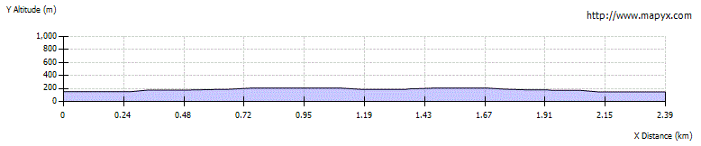
Route Profile