Summary
This circuitous route combines several waymarked walks at this large Forestry and Land Scotland plantation. Red squirrels inhabit the forest, and remnants of the area's industrial past can be spotted along the way.


Terrain
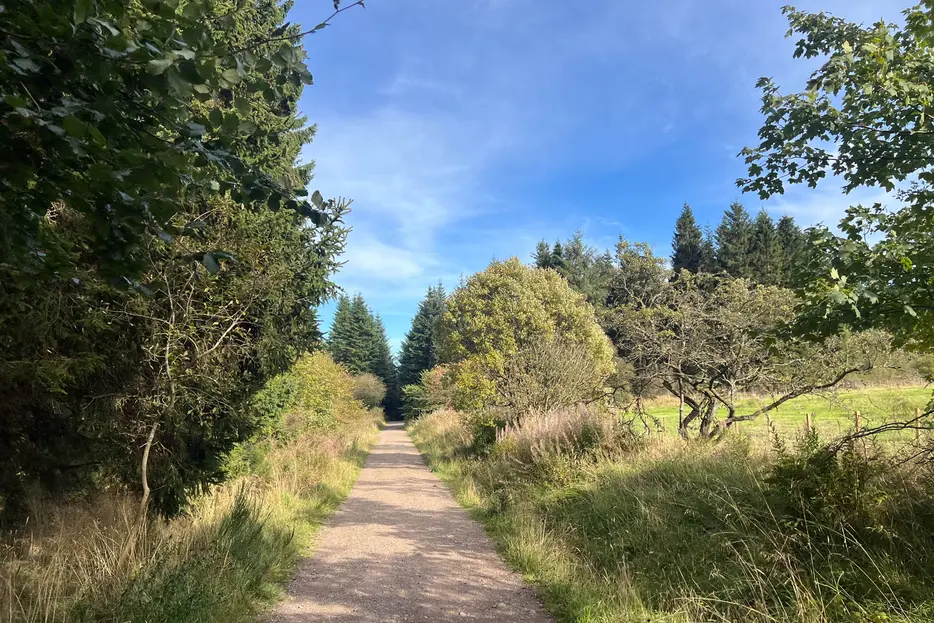
Forestry roads and surfaced woodland paths.
Getting there
Start
Clentry Forestry car park, 1km down the access road off the B914.
Public Transport
None to start; nearest bus at Kelty and then walk to site (reversing part of Fife Pilgrim Way).
Start Grid Ref
NT129946

Stage 1
From the car park and site buildings, begin by heading along the access road. Before the road crosses a bridge turn left onto the blue waymarked path. This is the Keltyhill Glen Trail, and it leads past an attractive waterfall, and follows the Drumnagoil Burn. Ignore a path joining from the right (part of the Fife Pilgrim Way), continue until the path meets a forestry track.

Stage 2
At the forest road head right, passing the markers for the start of the Glen Trail and the Blairenbathie Mine Trails, waymarked in red and yellow. Look out for a marker post that indicates (both colours) where to leave the track and turn left.

Stage 3
Ignore a muddy path off right, instead following the surfaced and waymarked main path. Between 1945 and 1962 this area was a coal mine employing 150 men, evidence of which can still be spotted in the undergrowth. When the path meets a track, turn left along this. Ignore a path off right and then a track off left, keeping ahead for 300m until a waymarker post on your right indicates where to turn onto the 'Glen Trail' (waymarked in red).

Stage 4
Follow the Glen Trail into an area of spruces. At a T-junction turn right, still following the red markers. The path descends to run alongside the Kelty Burn, on your left at first. Pass a bench and continue on the path when it crosses the burn via a stone bridge. Eventually the path crosses back, and then crosses a final time before it reaches a wider surfaced path. Turn left along this - now following yellow waymarkers.

Stage 5
After 500m of straight forestry track turn left at a junction, marked by a yellow waymarker. The path leads through some beautiful areas of oak and beech woodland, passing a couple of benches.

Stage 6
At a t-junction turn left, still following the yellow waymarked trail, crossing a stone bridge and then the old Lochornie Burn bridge, now reinforced with modern safety barriers. Keep ahead, ignoring two paths off left. When the route reaches a t-junction turn left. Soon after this you will see the start of the red Glen Trail you took earlier on your left. Ignore this and carry along the track briefly, before leaving the your outward route by turning right.

Stage 7
At a junction of forest roads with metal barriers turn left. The straight track gives distant views across to Loch Ore and Largo Law before it reaches the estate buildings. Continue past some houses until it leads back to the car park at the start.

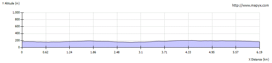
Route Profile