Summary
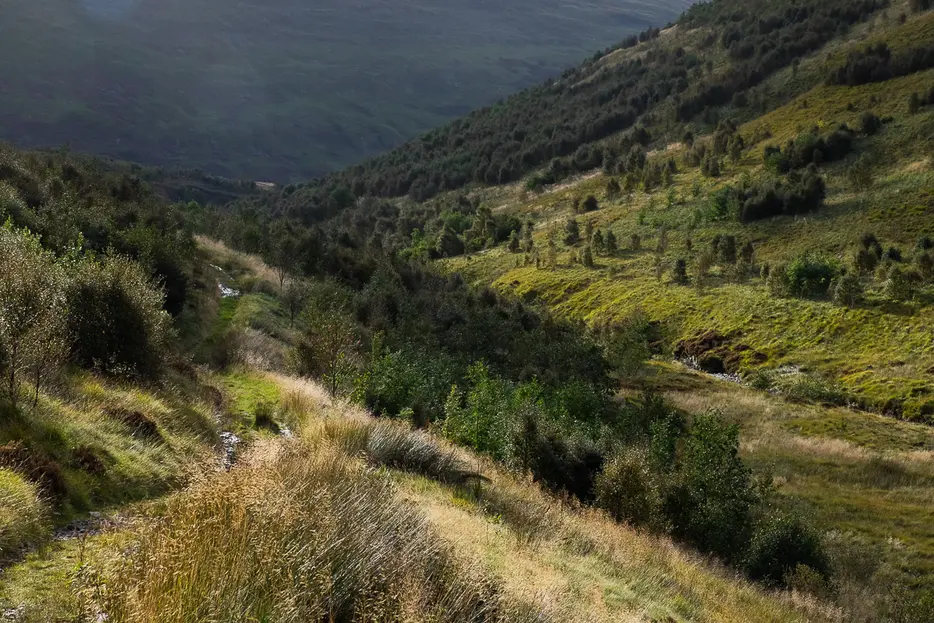
Since 2000 this spectacular ice-gouged valley has been the site of the Carrifran Wildwood. The aim of the land management here - carried out by a voluntary group - is to restore the valley to ecological health. Before the coming of sheep, much of the Southern Uplands was a wooded landscape. The Carrifran Wildwood group's work on re-establishing native trees here - intervening just enough to allow nature to take a hold once more - enables visitors and others to better understand what much of the Border country would once have looked like. As with all woodland walks, dog owners are advised to use a lead during the bird nesting season.


Terrain
Rough, informal paths and tracks, wet in places.
Getting there
Start
Carrifran Wildwood car park (gated).
Public Transport
None to start.
Start Grid Ref
NT159115

Stage 1
The walk begins from the Carrifran Wildwood car park, which is discretely signed from the A708. The car park is gated - please ensure you close the gate securely or grazing animals will damage the regeneration. Start by heading up through the kissing gate (stile alongside), then turn right onto the path. Dog owners are requested to keep their dogs on a lead from 1st April to 31st July to avoid disturbing the nesting birds whose home this is. The narrow path winds between the many different species of trees which have been brought back to the glen, and crosses some boardwalks.

Stage 2
When the path meets a grassy track go straight across. Soon the path climbs by a wall to reach a former sheepfold with a stunning view up towards the head of the valley. The sheepfold has several information boards detailing the history of change in this landscape. A hillwalker found a 6,000 year old hunter's bow near the head of the valley in 1990, and following this a research program uncovered the pollen records in the peat here which has enabled the Wildwood group to understand what species of tree were originally present.

Stage 3
Do not exit the sheepfold at the far end, instead taking the path from the left side. This soon descends to reach a grassy track. A path straight across leads back to the car park, but to make a longer walk you can first turn right up the track to detour up into the valley. As the group says, nature is the priority here now rather than people, so try to avoid causing disturbance. The track is a little wet in places.

Stage 4
The broadleaf trees soon give way to birches, mixed with holly, aspen, juniper, hawthorn and willow. Eventually the track reaches a wooden bench next to a drystone wall. The track continues to a ford on the river just beyond, but this is the best place to turn back and begin the walk back to the car park.

Stage 5
When you reach the path used earlier down from the sheepfold, turn right, descending steps. The path crosses a long boardwalk and contours the hillside before leading back to the start.

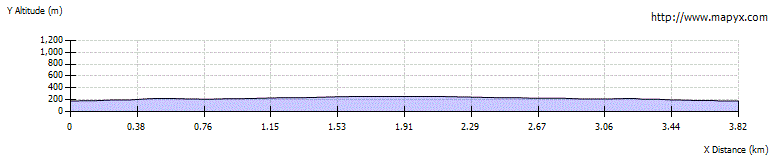
Route Profile