Summary
Loch Trool is one of the real gems of the Galloway Forest park, a beautiful and tranqul body of water that was once the scene of a fierce battle. This enjoyable walk makes a complete circuit around the loch.


Terrain
Waymarked paths, tracks and minor road.
Getting there
Start
Caldons car park.
Public Transport
None to start.
Start Grid Ref
NX397790

Stage 1
When driving up Glen Trool towards the loch, look out for a tiny tarmac road branching off to the right - it is marked for the start of the Loch Trool trail. Drive along this road to reach a parking area on the left just before a bridge. The walk is waymarked in green throughout; to begin, cross the wide bridge over the Water of Trool and then turn left at each of two track junctions. The track then crosses a second bridge, this time over Caldons burn, to enter what was once a campsite. When the track forks go left, and then look out for a Southern Upland Way marker post (and waymarker) that indicates where to leave the tarmac and go left over another tiny bridge. Finally fork right onto a footpath that climbs up through the trees before eventually descending with the first glimpses of Loch Trool.

Stage 2
The route - which coincides with the Southern Upland Way for this section- continues by the south side of Loch Trool, though it climbs and descends more than you might expect. There are views across the water, first to Glen Trool Lodge and later to the Bruce's Stone seen high above the far side of the loch - this is visited on the return leg of the walk. Near the head of the loch the trail climbs steeply, including a couple of flights of steps.

Stage 3
The path runs along by a fence and wall as it slopes gently down into the attractive glen above Loch Trool. Eventually it heads left and reaches the burn, then follows it upstream to the right. When it emerges on a track turn left to cross the bridge and follow the track uphill on the far side. It continues for almost 2km until the end of the public road is reached, where the trail to The Merrick goes off on the right.

Stage 4
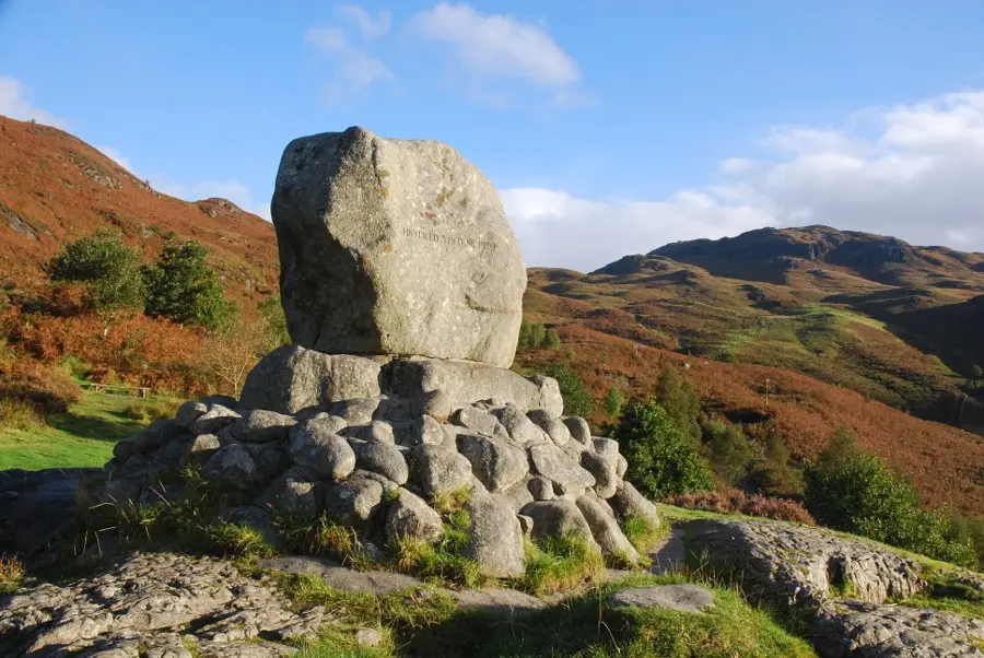
At this point the walk continues along the road, but first make a short detour to the left to visit Bruce's Stone. This is a cairn erected in 1929 to commemorate a battle in which Robert the Bruce - with just 300 men - defeated an English army of 1500 heavy cavalry by luring them to the steep banks of Loch Trool. This act of guerilla warfare was a first shot in the long campaign the Bruce fought before securing the crown of an independent Scotland. The cairn has a great outlook across the loch.

Stage 5
Continue along the tarred road for around 2km until a marker post indicates where the trail goes off into the trees on the left. After crossing a burn it reaches the lower end of Loch Trool for a long, last look back across the water. Finally the path climbs away before running along close to the outflow burn and emerging right back at the car park.

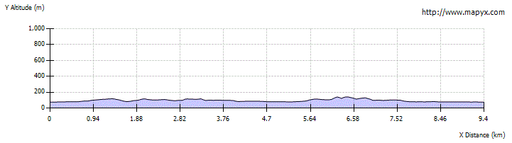
Route Profile