Summary
If you can pull yourself away from browsing the bookshops, this route explores something of Wigtown's environs, including a visit to the Martyrs' Stone where people were drowned for their beliefs, and the bird-rich marshland around the head of Wigtown Bay.
Please read the WARNING below before setting out on this route.


Terrain
Paths and minor roads; can be muddy at times. Riverbank section has two wooden fences with no stiles - but these are easily climbed (no wire). The route follows official core paths throughout.
Getting there
Start
Wigtown square.
Public Transport
Bus to Wigtown.
Start Grid Ref
NX433553

WARNING
There have been issues reported regarding the farmer impeding access on the path leading south from the harbour along the flood embankment (from Stage 4). This is an official Council Core Path (WIGT/389/3) and responsible access is allowed at all times. If you do have any problems, please contact the access officer at Dumfries and Galloway council (and copy us in at [email protected] if you are willing to do so.)
The information shown above is the latest we have. If you have an update then please email us.
Stage 1
Tiny Wigtown is Scotland's capital when it comes to second hand books, with 12 bookshops and over 20 book-related businesses; it's also the setting for a major book festival every autumn that attracts some top literary talent. To begin the walk from the square, head downhill past the left side of the impressive County Buildings down Bank Street, turning left before the bottom onto Church Lane.

Stage 2
Keep straight ahead when this meets Beddie Crescent, and at the far end continue onto a grass-grown track lined with trees. This is known as the Lovers' Walk and it gives excellent views over the marshes to Wigtown Bay. Pass the telecommunications mast and then turn right at a T-junction of paths, signed for Bladnoch Road. Eventually the route emerges at a gate onto a track by a house; continue ahead to reach the main road.

Stage 3
Ignore the footpath opposite, and instead turn right along the grass verge of the road, soon turning right again onto a minor road signed for the Moss of Cree. At the next road junction, turn right again, and finally left into a car park by the sign for the Martyr's Stake. Take the path from the right corner of the car park - it runs along the old railway line. Soon a short detour on a path diverging to the left visits the Martyrs' Stone. This marks where two local women were drowned at the stake during the 'Killing Times' for their sympathy with the Covenanters - people who wished to break from the then-established Episcopal Church. Although many were persecuted or killed, the Covenanters were ultimately successful as the Church of Scotland was founded. Return to the railway line path and continue along it.

Stage 4
Further along a mound seen down to the left is all that remains of the former Wigtown Castle. Eventually the path emerges on a minor road. Turn left here to visit Wigtown harbour. By taking a path on the left from here you can visit a bird hide overlooking the marshes and wetlands at the head of Wigtown Bay - an important reserve for birds.

Stage 5
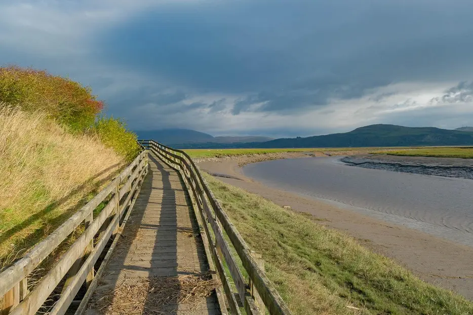
After visiting the hide, return to the harbour. This time take the path that continues by the river - signed as the Core Path river circuit. At a bench the surfaced path ends, and you need to carefully climb over the wooden fence (easy but unsigned) and contine along the top of the raised bank. There's another similar fence; continue along the bank.

Stage 6
The path passes through an metal gate and continues along the bank until the three stone supports of the former railway bridge are seen in the river. Go through another gate and turn right to head up onto the route of the old railway line.

Stage 7
This grassy route is lined by fine trees at first. Eventually it passes an attractive pond. Beyond this, as Wigtown is approached, the route leaves the railway line where blocked by a stone wall, and takes a parallel path to the right of it.

Stage 8
This soon emerges onto a minor road. Turn left and then right to eventually return to the main street.

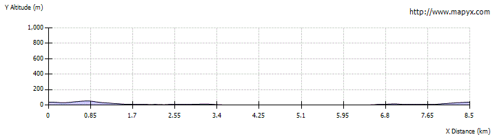
Route Profile