Summary
Follow the south coast of Canna, passing Canna House, farm and houses before heading inland on a moorland path to discover the two neolithic souterrains on the flanks of Beinn Tighe. Navigation skills needed.


Terrain
Mostly on good track; final section to the souterrains is rough, can be wet and requires navigation.
Getting there
Start
Canna pier.
Public Transport
Canna is served by the Calmac ferry service from Mallaig.
Start Grid Ref
NG277051

Stage 1
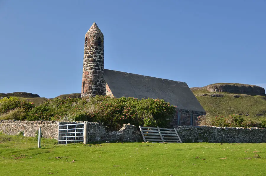
From the pier (where the Visitor Hub has information and toilets) follow the track passing the beautiful Church of Scotland building on the left which houses an exhibition about the archaeology of the island. Continue on the main track, to pass the cafe and the entrance to Canna House, home to previous owner John Lorne Campbell and his wife, Margaret Fay Shaw Campbell who gave the island to the National Trust for Scotland in 1981 - the gardens are always open, the house at restricted times.

Stage 2
Continue following the track, which is really the main road on Canna, all the roads are private and therefore local vehicles do not require road tax. Pass St Columba's Chapel, the island's current church, converted from the former post office. At the farm buildings there is an interesting exhibition in the former dairy - there is also a toilet here.

Stage 3
Just before a holiday cottage turn right through a gate (red waymarker arrow) and continue along the south coast of the island. The cliffs on the right are good places to spot both Golden and White Tailed eagles, the small isles has a healthy population of both.

Stage 4
As the track curves right and slightly downhill areas of sandy beach come into view. At the sharp inland corner of the track look out for a marker on a stone which indicates where to leave the track. At the corner take the vague path heading inland and north. This ground can be boggy and there are drainage ditches and areas where evidence of lazy bed cultivation from the past when there was a much bigger population on Canna (it peaked in 1821 at the height of the kelp boom when 436 people lived here).

Stage 5
Keep to the left (west) side of a small hummock and continue north vaguely following a faint track. Soon after crossing a basic wooden bridge keep left very briefly until the faint path splits - look for tiny cairns up on the right - fork right to climb up the slope to the east. You now basically follow a sheep trod heading diagonally to the right, ENE until, just after the remains of a old stone wall, the entrances to the souterrains are reached.

Stage 6
This underground passage would have been used in neolithic times to store foodstuffs. If you lower yourself into the entrance you will see how much cooler it is and you can see the large stones lining the sides and roof of the passageway. To return simply retrace the route back to the track and turn left to get back to A' Chill and the pier.

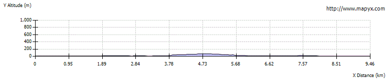
Route Profile