
Summary
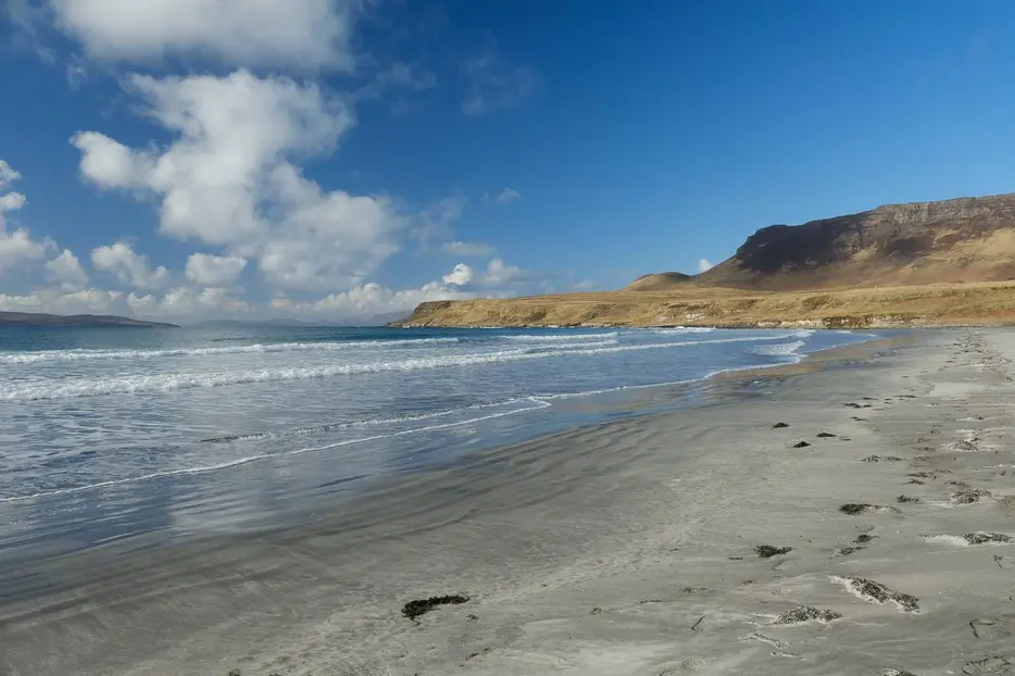
Follow the road across Eigg to visit the fertile crofting area in the north. The walk then visits the beautiful beach at Laig Bay with its famous outlook to Rum before climbing up into the forest for the return to the pier along forestry paths and tracks.


Terrain
Minor road, beach, and forest paths; the latter are very boggy.
Getting there
Start
Eigg ferry pier.
Public Transport
Ferry to Eigg pier from Mallaig, limited summer service from Arisaig.
Start Grid Ref
NM484838

Stage 1
At the pier is Am Laimhrig which houses the main island shop, cafe restaurant, toilets and showers, and a craft shop. From the pier take the road to the right passing over the cattle grid and following the shore line at first. Once past Shore Cottage the road starts to climb, it is possible to bypass the next two bends on grassy tracks.

Stage 2
After a short climb the road levels off. The road links the pier to the main settlement of Cleadale in the north. Pass a large standing stone on the right. Ignore the sharp turn to the right which is the road to Kildonnan. Pass the primary school on the right (older children have to go to Mallaig for secondary school, boarding with local families during the week) and then the Heritage Centre in the old shop. Here there is an interesting exhibition about the island.

Stage 3
Ignore any turnings into the forest and continue along the road. Soon the road starts to descend and there are good views across the fertile land at Cleadale and the beach at Laig Bay. After a sharp bend the first houses at Cuagach are passed. Don't take the first track marked with blue markers to the left, but keep an eye out for the second one opposite a post box.

Stage 4
This leads down towards the church. If you reach the road junction at the war memorial you have gone too far. Follow the track down towards the shore and turn left again before the church and house.

Stage 5
This leads to the beach, passing a small wooden house on the right. The sands here have great views across the water to the jagged peaks of Rum.

Stage 6
Turn left and head south across the sands. Part way along the beach a burn is usually fairly easily crossed where it flows out across the sands. Beyond this take the track that runs along the shore behind the beach and follow it towards the buildings at Laig, passing a wooden house overlooking the beach on the way; there are great views looking back across Laig Bay.

Stage 7
The track leads to the farmhouse, keep left on the lower track when the track forks rather than heading right up to the house. Soon the path crosses a stream, there is a bridge just to the left. Climb up the stony track on the far side, passing one of the hydro electric plants that powers the island's own electricity grid. The track climbs and narrows, passing a lochan below, and then going through a gate and a narrow pass between rocks at the top of the hill. Here the path is very wet underfoot.

Stage 8
The path now crosses an area of heather, generally keeping close to the trees on your left. The path remains boggy underfoot. Eventually it crosses a stream - there are stepping stones, and a bridge to the right - and then climbs gently, bearing right. When it reaches a track, the road is very close on the left if you need a short cut, otherwise turn right following the green waymarkers. Keep on the main track, forking left at a large barn. At the next junction keep straight on rather than taking the track to the right. The route continues to climb and continues on a narrow path from the end of the track, marked by posts. Eventually there are views down towards the sea.

Stage 9
The path descends, goes through a gate and then reaches the road. Turn right here and follow the road downhill back to the pier.

Route Profile
