walkhighlands

Walkhighlands news

Walkhighlands expands to include Orkney

Walkhighlands has today launched coverage of Orkney with the publication of 40 walking routes on the islands. Ranging from the classic walk from Rackwick to view the Old Man of Hoy, to rambles to bird spotting hides and days out on many of the smaller islands, the coverage also includes a recently established walk along the east coast of South Ronaldsay, as well as archaeological gems such as Quoyness Cairn on Sanday and Mid Howe Broch on Rousay. Walkhighlands plans to feature more walks on the islands, not covered so far, in addition to a couple of longer routes on…

Read more ›
Posted in News, Walkhighlands news

Skye Trail Guidebook available to order

Anyone planning to walk the Skye Trail this year can now pre-order a copy of the new Cicerone guide to the route. The guidebook will be published on 15 July and is available either to pre-order or as an e-book now. The 128km Skye Trail is a challenging unofficial route through the island aimed at experienced walkers. It crosses the very best of the island and includes some of the UK’s finest landscapes. The route follows much of the amazing Trotternish Ridge and later passes beneath the very shadow of the Cuillin, with the possibility of a detour to take…

Read more ›

Posted in News, Walkhighlands news

Final stage of Loch Leven Heritage Trail now open

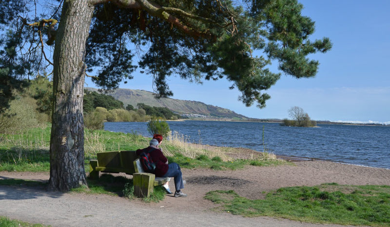
A final 6.5 kilometre section is now open which completes the Loch Leven Heritage Trail circuit around the loch near Kinross. The new section – which runs from the RSPB Nature reserve at Vane Farm to Kinross – includes the highest point on the trail, and gives some of the best views on the whole 21km route. The final section cost £800,000, and was funded by the Heritage Lottery Fund with further contributions from Scottish Natural Heritage, The Arthur and Margaret Thompson Trust, The Gannochy Trust and Sustrans. A very valuable new donation was a bequest from the late Jean…

Read more ›

Posted in Access issues, News, Walkhighlands news

John Muir Way officially opens this Easter

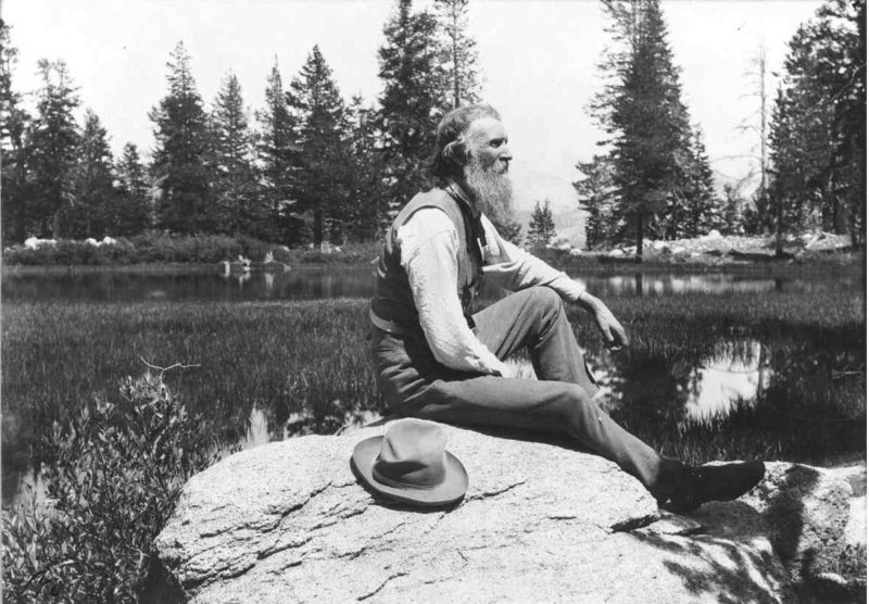
A festival of events celebrating the life of conservationist John Muir kicks off today (Thurs 17 April) and will include the official opening of the new long distance walking route the John Muir Way on Easter Monday. The new trail which runs between Helensburgh and Dunbar and echoes John Muir’s own personal journey growing up in the east coast town of Dunbar before travelling to the west coast of Scotland where he set sail for life in America. Although John Muir left Scotland at the age of 11, it was here that his love of nature was developed. He was…

Read more ›

Posted in Access issues, News, Walkhighlands news

Extra WH Navigation Course dates

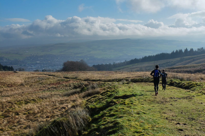
As the planned four Walkhighlands/MCofS Navigation Courses for 2014 booked up within days, a further two courses will be held in the Ochils in July. Each course will begin with an hour of work indoors and then the rest of the day will be spent on practical navigation skills on the hill. The course will be run by Heather Morning, Mountain Safety Officer at the Mountaineering Council of Scotland and are aimed at anyone who wants to learn how to navigate for hillwalking or to brush up existing knowledge. The courses are very friendly and will also provide a chance…

Read more ›

Posted in News, Walkhighlands news

John Muir Way opening countdown and online guide

The countdown is now well underway for the launch of the coast-to-coast John Muir Way. The new 134-mile lowlands trail will officially open on 21st April 2014, during the first ever Scottish John Muir Festival, to mark both the conservationist's birthday and the centenary of his death. The new trail which runs between Dunbar and Helensburgh echoes John Muir’s own personal journey growing up in Scotland’s east coast town of Dunbar before travelling to the west coast, where he set sail for life in America. The route has been designed to take in castles, historic towns and villages, stunning coastal…

Read more ›

Posted in News, Walkhighlands news

2014 Walkhighlands Navigation Courses

Following the success of last year's navigation courses, there will be a further 4 Walkhighlands/MCofS Navigation Courses held in 2014. The first courses will be held in the Ochils in May with a further two courses planned for the Campsie Fells in June. Each course will begin with an hour of work indoors and then the rest of the day will be spent on practical navigation skills on the hill. The course will be run by Heather Morning, Mountain Safety Officer at the Mountaineering Council of Scotland and are aimed at anyone who wants to learn how to navigate for…

Read more ›

Posted in News, Walkhighlands news

Walkhighlands' launches 2014 user survey

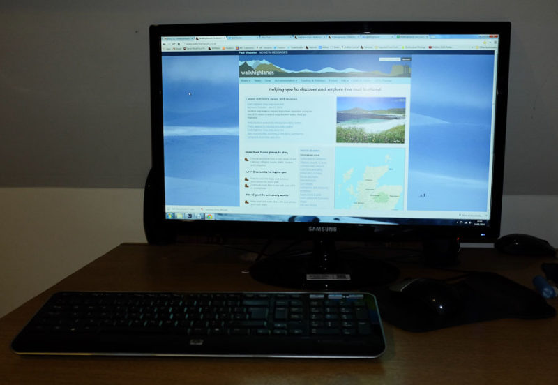
Walkhighlands is calling for people to fill in its 2014 user survey. The previous survey two years ago led to many changes and enhancement to the website, including new overall designs including for tablet and mobile phones, maps from each area page enabling the various walk start points to be located, more search options for accommodation, redesigned user walks diaries and extension of the site to cover walks in Harris, Lewis and other islands as well as an ever increasing number of Corbetts. The new survey takes 5-10 minutes to complete and is completely anonymous. You can fill in the…

Read more ›

Posted in Walkhighlands news

Happy Christmas from Walkhighlands

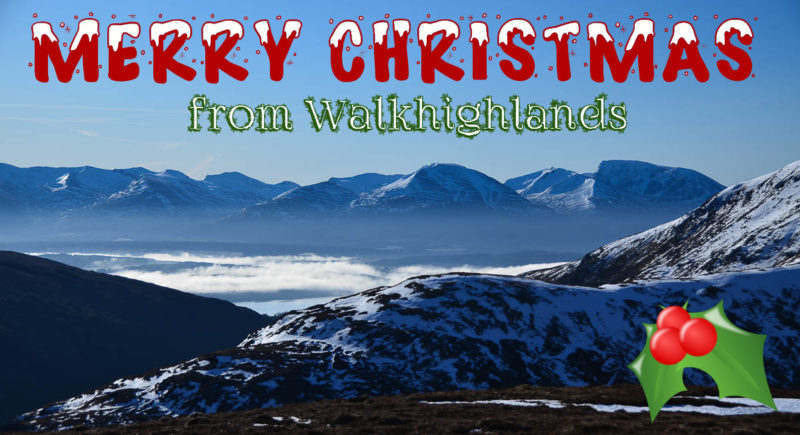
We’d like to wish a very Merry Christmas to everyone who has used Walkhighlands in 2013! Here’s hoping you have a 2014 full of fantastic walks and holidays in Scotland.  

Posted in Walkhighlands news

Scottish Winter Mountains on BBC tonight

The BBC's new documentary “One Wild Winter in the Scottish Mountains” will be shown tonight (Wednesday December 11) at 9pm on BBC 1 Scotland. The show will focus on the 2012 winter on Scotland’s peaks. “The Scottish Mountains are Britain's biggest playground. Every winter thousands of people want to experience them at their most magnificent. In an age of mobile technology, many of these adventurers carry cameras. The size and quality of modern day cameras allow people to capture extraordinary images thousands of feet up. Tales of triumph and of tragedy are captured in the most immediate and intimate way.…

Read more ›

Posted in News, Walkhighlands news


Share on 

Share this  

You should always carry a backup means of navigation and not rely on a single phone, app or map. Walking can be dangerous and is done entirely at your own risk. Information is provided free of charge; it is every walker's responsibility to check it and to navigate safely.