Summary
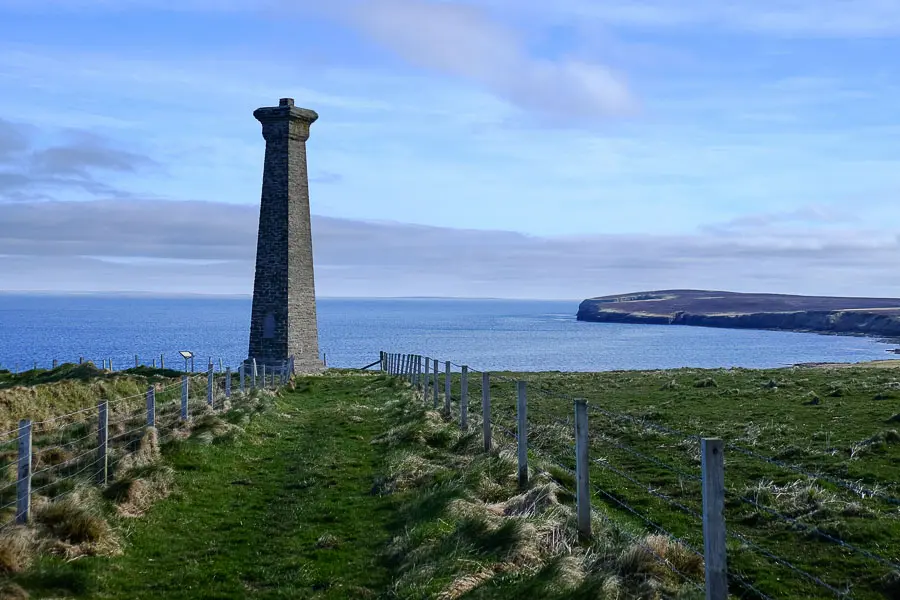
This short but enjoyable circuit visits the Covenanters' Memorial on the Deerness coastline - which commemorates hundreds of prisoners who were killed in a shipwreck offshore.


Terrain
Rough coastal footpaths; boggy section on return path.
Getting there
Start
Covenanters' Memorial car park at end of minor road at HY574076.
Public Transport
Buses from Kirkwall pass the junction at HY565053 in Deerness, around 3km from the start of the walk.
Start Grid Ref
HY574076

Stage 1
From the parking area and information board, begin the walk down the green lane heading towards the coastline, soon passing through a gate. The lane continues down towards the sea, with the Covenanters' Memorial prominent just to the right.

Stage 2
At the coast, turn right to follow the grassy path to the base of the memorial. It was erected to commemorate the 200 Presbyterian prisoners from a battle between government troops and militant Presbyterian Covenanters in 1679. After the battle 1,200 prisoners were taken to Edinburgh before most were either set free after making a submission, executed or died of illness. After several months the remaining 250 prisoners were put onto a ship bound for the English plantations in America to become slaves, only for their ship to be wrecked on the rocks during a storm. The captain refused to release the prisoners from the hold so most perished. Of those that escaped, most were recaptured and sent to America, though some managed to make their way to Holland via Stromness, and some settled on the island.

Stage 3
The path now passes through a gap in the fence to continue between it and the sea. Look out for shags, razorbills and fulmars along the low cliffs during the season. The path crosses a boardwalk over a ditch and continues with views ahead towards Mull Head.

Stage 4
Twice the path descends to the shore before climbing again, the second time down steps to a footbridge. After two more footbridges at cliff-top level, a low sign indicates a path heading off to the right (as the fence on the right ends and turns inland). The coastal path ahead leads to Mull Head, but our shorter route turns right here. Follow the fence until a gate is reached; here the route turns right again to follow a grass lane.

Stage 5
Eventually another gate leads out onto a farm track; turn left along this briefly, then take the next track off to the right. Keep straight ahead when the main part of this track turns left. The route now leads straight back to the parking area; the going can be boggy in places.

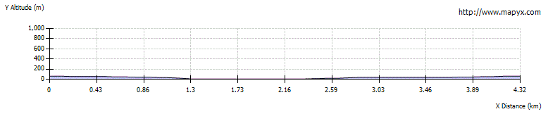
Route Profile