Summary
A fantastic coastal walk, rugged in part, taking in the remains of an iron-age broch, stunning coastal scenery to reach the impressive ruins of cllifftop Keiss Castle before returning by the same route. Can be combined with a visit to the Caithness Broch Centre at Auckengill.


Terrain
Easy path to broch and then rough coastal walking on narrow clifftop path. The route is waymarked as part of the John o'Groats Trail but there is one barbed wire fence to climb.
Getting there
Start
Nybster Broch car park, off A99 3 miles north of Keiss.
Public Transport
Bus to Nybster (near start) from Wick.
Start Grid Ref
ND 370 635

Stage 1
The car park is signed for Nybster Broch off the A99 Wick to John o'Groats road, 3 miles north of Keiss, on the seaward side. From the car park take the path heading south past the small memorial and information board and follow the path along the coast to reach the large square Mervyn Tower. This was built as a monument to Sir Francis Tress Barry, an English businessman and politician who excavated the Nybster broch in 1900. It partially hides the broch which lies on the seaward side of the monument. Nybster is one of the most important broch settlements in mainland Scotland sited on an easily-defended high promontory and comprising a large number of ancillary buildings and spoil heaps as well as the thick stone walled round house - it is thought that people lived here for over 1000 years.

Stage 2
From the broch continue south along the coast, following a rough informal grassy path between the fence and the unprotected clifftops. Soon an impressive rocky inlet or geo is passed, these features are very characteristic of the Caithness coastline and usually attract nesting seabirds.

Stage 3
Staying near the cliff tops continue along the coast. Cross a stone slab field boundary and continue on the seaward side of a fence, taking care as some sections are steep and a little exposed. At one point, just beyond a ditch, the route crosses a barbed wire fence - there's a waymarker. It may be easier to cross the fence further down towards the sea. Continue along the rough path beyond, a further fence is easily stepped over (no barbed wire). Further on the route crosses a stone wall at a stile.

Stage 4
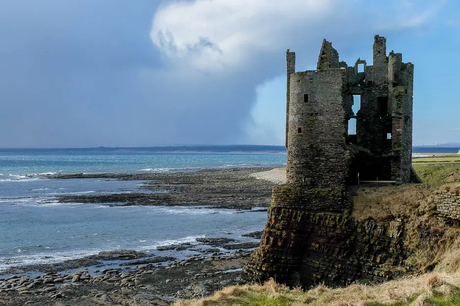
A long flatter section of grassy coastline now leads to the ruins of Keiss Castle which can be seen ahead. The ruins are in a dangerous state and there is no access to the building itself. For the best close up view of the castle go through the farm gate into the field on the right, and follow the inside of the fence to see the ruins.

Stage 5
The 17th century castle was possibly built on the site of a much older fort, it was replaced in 1755 with Keiss House, the large white building just inland. When you have seen the castle the return route is by the same outward walk along the coast.

Stage 6
Once back at the Mervyn Monument next to the broch you can check the state of the tide and decide whether to explore the beach and jetty on the way back to the carpark. More information about brochs and the iron-age communities that lived in and around them can be found at the Caithness Broch Centre, sited in the old schoolhouse at Auckengill only 100m north along the A99 from the carpark turn off (open Apr-Sept Mon to Fri, Sats in July/Aug).

Stage 7
If the tide is out you can take the small path that descends to the sandy bay from the main path. From here at low tide it is possible to make your way over the rocky slabs at the north side to reach the jetty, once used for landing fish and creel pots. It is a delightful spot to take a break and maybe keep an eye out for otters. From here take the path heading back up passed the ruined fishing bothy to reach the carpark.

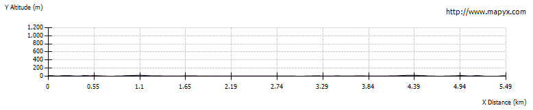
Route Profile