Summary
This pleasant circuit through birch, aspen and hazel woodland offering good views towards the Cairngorms at times. This fairly easy going route starts from the square at the heart of the planned town of Grantown-on-Spey. There are waymarked paths in the woods but all the marked routes have sections which have become impassably overgrown - the route described here sticks to paths which remain open; our app will help you stay on route.


Terrain
Rough woodland paths, boggy in places; also tracks and section along quiet tarmac road.
Getting there
Start
Grantown-on-Spey.
Public Transport
Buses to Grantown.
Start Grid Ref
NJ032278

Stage 1
Start the walk from the Square - the green space at the heart of Grantown-on-Spey; there is usually plenty of parking here, and more at the nearby Burnfield car park. Begin the walk by heading up Seafield Avenue, which leaves from the corner of the square along the left side of the Co-op. Follow this road past the houses and the caravan park, passing under the old railway line. Follow the road as it curves left, ignoring the signed path off to the right (used on the return).

Stage 2
Very soon the road bends right to head uphill - leave it here and go straight ahead onto a track. At a fork ignore the overgrown track off right and keep ahead, following the waymarker post (green, blue and orange). At the next junction (pictured), fork off to the right onto a rougher path (still waymarked all colours), heading uphill through the mainly birch woodland. A marker indicaters where the orange and green routes used to turn off right - these are now overgrown and there is no path off here, so stay on the main path (blue marker), which continues ahead and then bends right.

Stage 3
A short distance further on the blue markers indicate a narrow path off left - ignore this, instead following the main path ahead and passing through a gap in an old stone wall. The path now reaches a more open area. After crossing the remains of an old wall, there's a faint fork with a wooden fencepost but no markers (pictured); take the left fork to pass left of the fencepost here. As the path re-enters the trees a narrow path is reached at a t-junction - turn left here.

Stage 4
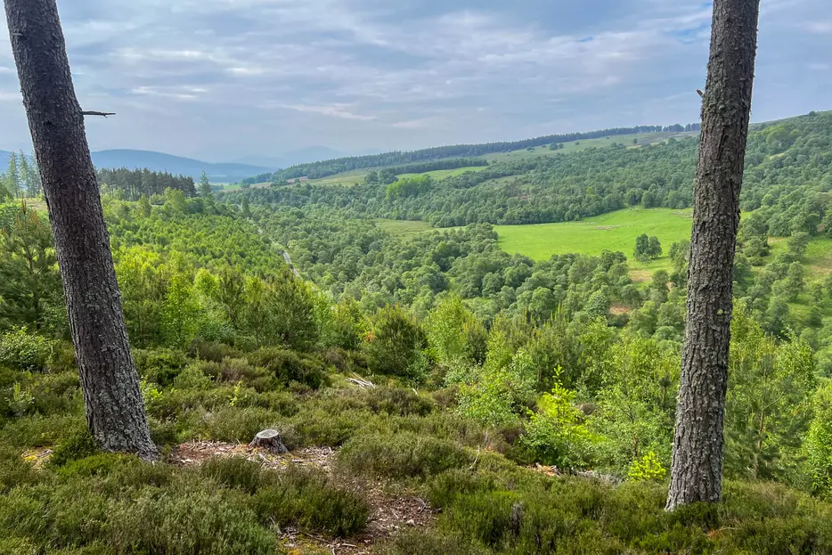
The path soon becomes clearer - ignore a path off left and keep ahead (now following orange and green markers again); ignore another unmarked path off right. Just before a stand of pines a marker post indicates where the orange route turns right (with green and blue ahead). The actual turning is a few metres further on amongst the pines; take this right turning, soon crossing a wooden footbridge. The woods now thin, with views towards the Cairngorms. At a forestry track the route turns left downhill - but before doing this, it is worth going a few metres ahead into the trees opposite for the best view over Glen Beg.

Stage 5
Heading down hill the Cairngorm mountains can be seen ahead. When the track forks branch left, then keep ahead when a track joins from the right. Ignore the next track on the left, continuing until a another fork. Keep left (orange marker) here, ignoring the right branch which heads downhill. Just before a metal fence turn left at a bench and follow the path alongside the fence - there is a memorial up to your left.

Stage 6
Keep left when the industrial buildings can be seen ahead. Stay on the main path, heading downhill. When it nears a house and a marker post turn left onto the old railway line. Stay on this straight route - keeping ahead at a cross-paths (signed for Grantown-on-Spey - but it's not really 2 miles!). Continue over an old rail bridge, until the caravan site is alongside on the right. Look out for the sharp turn down on the left and follow it past the sign for the Dava Way and out onto the road. Turn left to go under the railway bridge and retrace the outward route back to the centre of Grantown.

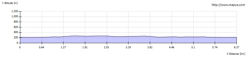
Route Profile