
Summary
Built between 1818 and 1822, the Union canal was designed by Hugh Baird and was originally used for transporting coal before competition from the railways caused it to close to commercial use in the 1930s. This sections gives a pleasant, level walk, the highlights being heading through a long tunnel and over a giant aqueduct.


Terrain
Variable grade surfaced towpath
Getting there
Start
Falkirk High rail station.
Public Transport
Rail stations at Falkirk High (for start) and Lithlithgow (end).
Start Grid Ref
NS881790

Stage 1
Start either from Falkirk High Station or the adjacent Drossie Road car park. Start by crossing the rail car park diagonally (to the right as you face the station) and head down the steps at the corner of the car park. Turn left to head through the tunnel under the railway and then bear left signed for Union Canal. Turn left along the towpath to reach the Falkirk Tunnel. 630m long, the tunnel is damp and dark; the wall-mounted lights provide a decent level of illumination but it would not be advisable to tackle this section of the walk at night. At the far end the canal and towpath run through a green leafy cutting spanned by a succession of stone bridges, and the path becomes slightly muddier in places.

Stage 2
Whilst unremarkable this verdant, quiet section of the route continues until the outskirts of Polmont, where the scenery changes somewhat as the canal passes a landfill site and the tall walls of a HM Young Offenders Institution. Despite the lack of attractive scenery, Polmont does provide the opportunity for return travel via a convenient rail station.

Stage 3
Leaving Polmont the canal is once again in more open terrain, passing underneath the new A801 bridge - the result of a significant canal diversion - and the large basin here formed the western limit of the navigable canal prior to restoration in the early years of the millennium. Beyond the bridge the canal meanders under a series of stone road bridges and passes the entrance to Causewayend Basin, an unusual square basin on the south bank.

Stage 4
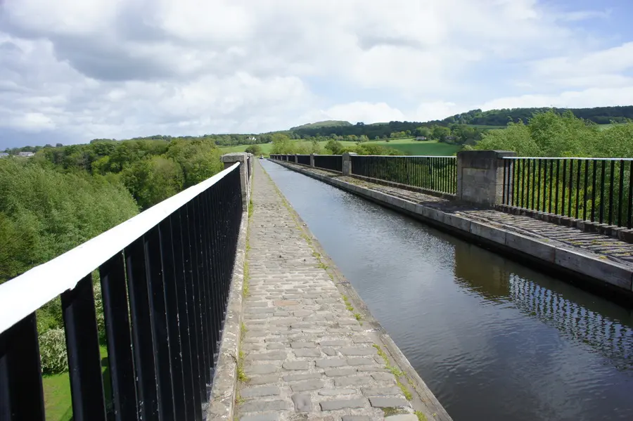
In pleasant leafy countryside the canal crosses the massive Avon Aqueduct - 250 metres long and 26 metres tall - the longest and tallest aqueduct in Scotland and only surpassed in Britain by Pontcysyllte Aqueduct in Wales. Cross this carefully, admiring the views down to the fast-flowing River Avon far below, and continue along the well-restored path.

Stage 5
The towpath now leads into Linlithgow, home of the extremely active Linlithgow Union Canal Society and the Linlithgow Canal Centre. These volunteers run narrowboat trips along the canal and over the aqueduct during the summer months, as well as further afield to the Falkirk Wheel. The railway station is located a short distance below the museum at Manse Basin, and is easy to spot from the elevated towpath; this is the end of the stage.
Next stage: Linlithgow to Ratho
Route: Phil Turner

Route Profile
