Summary
This rough circular walk explores a little visited but stunning section of Knoydart's western coastline. Beginning in Inverie, it visits remote beaches en route to Sandaig; at Doune it climbs up to the tiny 'road' for the walk back to Inverie. Much of the route passes through several areas of regenerating native woodland, thanks to the Knoydart Forest Trust.
Grade

Bog Factor

Rating
Distance
Time
(in summer)
Ascent
Terrain
Very rough coastal path, partly waymarked with wooden posts. Return on tarmac.
Are you REALLY ready for winter hills?
Hillwalking when there is snow lying requires an ice-axe, crampons and knowledge of how to use them safely. The description here is for summer conditions.
See our Winter Skills page for basic information on the essential skills, techniques and knowledge needed for winter.
Getting there
Start
Inverie, Knoydart peninsula.
Public Transport
Ferry to Inverie from Mallaig.
Start Grid Ref
NG765001

Stage 1
From the ferry pier in Inverie head up to Knoydart's road. The Old Forge pub and Knoydart's cafe and shop are just along the road to the right, but for this walk, turn left. The road sticks close by the shore, with views across Inverie Bay to the hills of Morar. At a fork keep on the main track to the right to pass above the big white house at Scottas, but at the next fork keep left onto a track to return to the shore, soon crossing a cattle grid. The track ends at Glaschoille House.

Stage 2
Cross the grass - noting the bronze sculpture of a girl and dog - and continue along the pathless shore beyond. The route passes a cairn and continues along the north shore of an inlet. There are beautiful native woods here, following plantings in 1994/5. You can head right through to the far coast to visit the beach at Satial, but to continue the walk to Sandaig look out for a wooden post with red markings which indicates where to turn right, steeply uphill on heathery ground.

Stage 3
The very rough path soon swings left to run above an old fence line, joining a line of telegraph poles; there are occasional further wooden markers. The route stays close to the telegraph poles as it heads up and then descends to the site of old crofts at Am Port - now a flatter area of cottongrass and coarse grasses. The ruins of one of the old crofts from pre-Clearance days can be seen over to the right of the path.

Stage 4
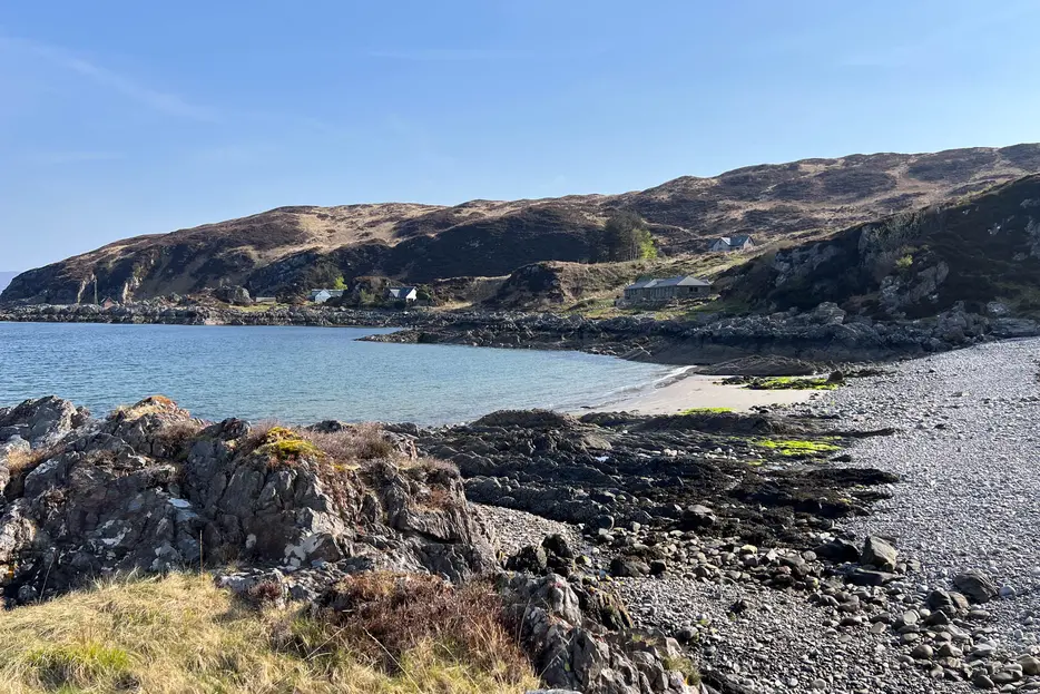
The path continues straight ahead to pass between some rougher slopes off to either side, but if time permits it's worth making a short but rough detour down to the left (west) to visit the little visited beaches on this section of coast - with views over to Sleat and Blà Bheinn on the Isle of Skye. After exploring the beaches, return to the rough path and continue NNW, looking out for the wooden posts.

Stage 5
Eventually several scattered buildings come into view, together with the coastline. The path passes to the left of another ruined croft to reach an area of perfect greensward. Aim to the right of the new house ahead to meet a track. Turn right briefly along this, then left (signed for Sandaig and Doune). The path climbs grassy ground and then descends to cross a small burn and reach a pebbly bay. Cross the back of the bay and then follow the path which climbs briefly.

Stage 6
The path keeps above the coast and soon gives a view across the wider bay at Sandaig with a cottage at the far end. The path descends towards the beach and then runs along its edge, eventually reach a track. The large house (once St Anthony's Chapel and now a B&B) to the right here often provides drinks and snacks on a self service basis (turn right for the short detour to visit). Otherwise turn left along the track. After 200m a junction is reached - you can shortcut the route by going straight on here, then turning right when the track reaches a road. To continue the walk to Doune, however, turn left along the track towards a white house on the shore.

Stage 7
Don't continue to the house, instead turning off right after 100m or so (before you reach the bridge) to head WNW across the grassy ground, aiming to pass into a gap between plantations off on either side. After a short pathless stretch you may once again pick up a path marked by wooden posts and red paint. This crosses tussocky moorland, fording a small burn at one point. It keeps well left of a fence corner, and eventually the posts lead the path down towards the shoreline. Turn right along it, soon keeping to the right of an old drystone wall. A marker post indicates where to bear right more steeply uphill. There's no need to climb right up to the memorial cross that comes into view; instead following the path northwards above the coastal cliffs.

Stage 8
The rough path rises and falls before descending to a pebbly bay just short of the houses at Doune. Cross the pebble bay (with a house to your right) to pick up a good path leading to the next pair of buildings by the shore - accommodation for those staying at Doune. Turn right after the second of these buildings on a track, then after a very short distance turn left onto a footpath (signed 'Up There') with old steps. The path goes straight across a grassy track to another house and continues to climb the moorland, eventually meeting the tarmac road. Turn right here.

Stage 9
The walk back is much easier going than the outward route - with tarmac all the way! After a little over a kilometre it passes the track down to Sandaig - the shortcut mentioned earlier. Remain on the road. At one point there is a signed path off left - this ascends the rocky hill of Roinn na Beinne - a strenuous optional addition to the route. The main walk, though, continues along the tarmac, passing through newer areas of planted native woodland. There are stunning views before the road finally descends back to Inverie Bay - continue along it to return to the pier and the heart of Inverie.

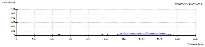
Route Profile