
Summary
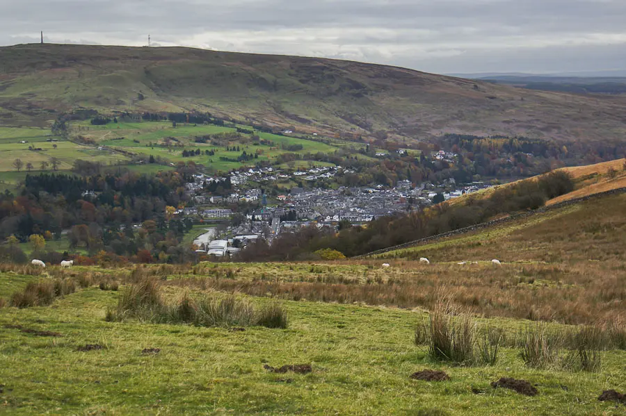
After leaving Langholm through parkland, climb pleasant farmland to reach the open moorland ridge of Calfield Rig, Black Knowe and Mid Hill with good open views. Waymarked at walk 9.


Terrain
Minor roads, waymarked paths, fields with livestock, open moorland, boggy in places. Dogs to be kept under tight control.
Getting there
Start
Kilngreen car park, Langholm .
Public Transport
Bus to Langholm.
Start Grid Ref
NY363848

Stage 1
Start from the Kilngreen car park adjacent to the River Esk, on the A7 just north of the town centre. Walk back along the main road towards the town and turn right over the bridge on Thomas Telford Road. Once over the bridge turn left down Elizabeth Street, then right onto Caroline Street until you turn left across the footbridge into Buccleuch Park. Keep right onto the riverside path alongside the stone wall for a very short section before taking a right through a gap in the wall and heading across the park towards the steps in the woodland on the far side.

Stage 2
Climb the steps and at the top continue ahead until you turn right at a sign for Gaskell's Walk. Follow this path along the edge of woodland and then downhill to run above the Wauchope Water before reaching the B7068 after a gate. Turn right along the road for a short distance then turn left up a minor road that passes a number of houses towards Becks Farm.

Stage 3
Ignore the driveway to Becks Farm on the left and turn left in front of the cottage on a stony track. Keep straight ahead when the track branches, passing through a gateway. Continue to the end of the track and go through the gate (keep dogs under tight control as livestock often in this field and on open moorland) and immediately bear right to follow an indistinct path running uphill between the gully on the left and the stone wall on the right. Stay near the wall and go through a farm gate before bearing slightly left (NW) over rough ground to the summit of Calfield Rig - there are occasional marker posts (walk 9).

Stage 4
From here the route runs north along the lumpy ridge, keeping to the left of Naze Hill, there is a faint path, boggy at times, and some quad bike tracks that also follow the ridge in places. In clear conditions there are wide ranging views taking in Criffel, the Solway Firth, and the Lake District as well as the nearer wind turbines. The path keeps to the right of the fence and after a dip, cross the stile in the fence ahead and continue in the same direction to another fence and stile to reach the summit of Black Knowe which has great views of the hills to the north.

Stage 5
From Black Knowe retrace your steps and go over the stile before turning left and following the fence to the summit of Mid Hill, the high point of the route. You need to climb the fence to reach the actual summit trig point from where there is a good view over Langholm with the descent route laid out ahead. Follow the left side of the fence down the broad ridge, crossing a stile over a stone wall and continuing just beyond the top of Meikleholm Hill where the faint path splits - keep right to eventually join a stony track, bear left along this and soon a larger track is reached, turn right down this to continue downhill.

Stage 6
Go through a gate onto a tree-lined track and turn left when this emerges onto another track. Take the path on the right opposite a house and bend to the right to descend behind houses (ignoring the path to the left into the woods) and take the next left down onto Eskdaill Street. Turn left along the street until the end and turn right here to return to over the bridge and then left to reach the car park at the start.

Route Profile
