
Summary
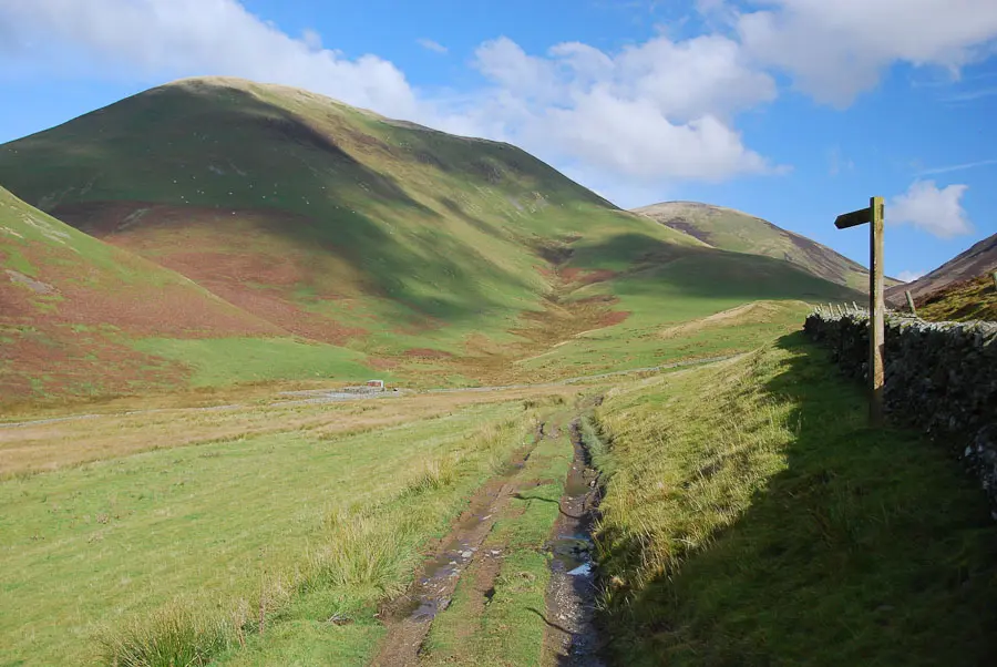
This circuit heads follows a narrow glen which snakes between the shapely grassy hills behind the picturesque village of Durisdeer. The route is a delight - apart from one boggy section - with plenty of interest. The route is sometimes known as the Wald Path, or as the Roman Road.


Terrain
Hill tracks for most of the walk, but with one very boggy stretch across reedy ground.
Getting there
Start
Durisdeer village square.
Public Transport
None to start.
Start Grid Ref
NS894037

Stage 1
Durisdeer is a tiny but picturesque village guarding what was once the main route through the hills before the construction of the Dalveen Pass. Park carefully in the square in the centre of the village. It is impossible to miss the impressive church, which dwarfs the village itself, and before beginning the walk it is well worth a visit.

Stage 2
Inside the church is packed with box pews which could hold a much larger congregation than would ever seem likely, whilst at the rear (accessed separately) is a mausoleum to the Dukes of Queensbury - housing the Queensbury marbles.

Stage 3
After visiting the church, begin the walk by heading along the lane with the church on your left. Pass the last cottage and follow the track through the gate. Ignore a signed path heading through a gate in the wall, and instead continue ahead, taking the left fork when the track branches to continue with the drystone dyke (wall) on your left. There are beautiful views of the surrounding hills as the track - known as the Wald Path and once the main route through the hills - continues up the glen.

Stage 4
At a signpost turn left through a gate - noting the benchmark carved on the old gatepost - to follow a grassy track which continues up the glen at a lower level. Soon the Kirk Burn is reached; cross the footbridge and continue up and through a gate, then take the right fork on a very faint grassy track.

Stage 5
On the left side of the track an obvious grassy mound surrounded by a ditch is the remains of the Durisdeer Roman Fortlet, regarded as one of the best preserved examples in the country, and worthy of a closer look. The fortlet is seen to perhaps better advantage from a distance across the valley on the return leg of the walk.

Stage 6
Continue along the old track - a Roman Road - as it cuts across the steep grassy side of the glen and eventually reaches a tin hut. From here the track soon fades out into a very boggy area of high reeds; this is the least enjoyable part of the route. Head across the bog as best you can, aiming for the angle in the drystone wall further up the glen. Once at the wall follow it uphill - passing a small green shed - to the top of the pass.

Stage 7
Here pass through a metal gate in the wall to gain the clear track on the far side. It is worth a short detour to the left along this for the view down the far side of the pass, but the route returns to Durisdeer by instead following the track to the right. This gives much drier going, enabling a better appreciation of the beautifully-sculpted hills. Eventually the outward route is rejoined just before the walk returns to Durisdeer.

Route Profile
