Forth & Clyde Canal: Bowling to Maryhill
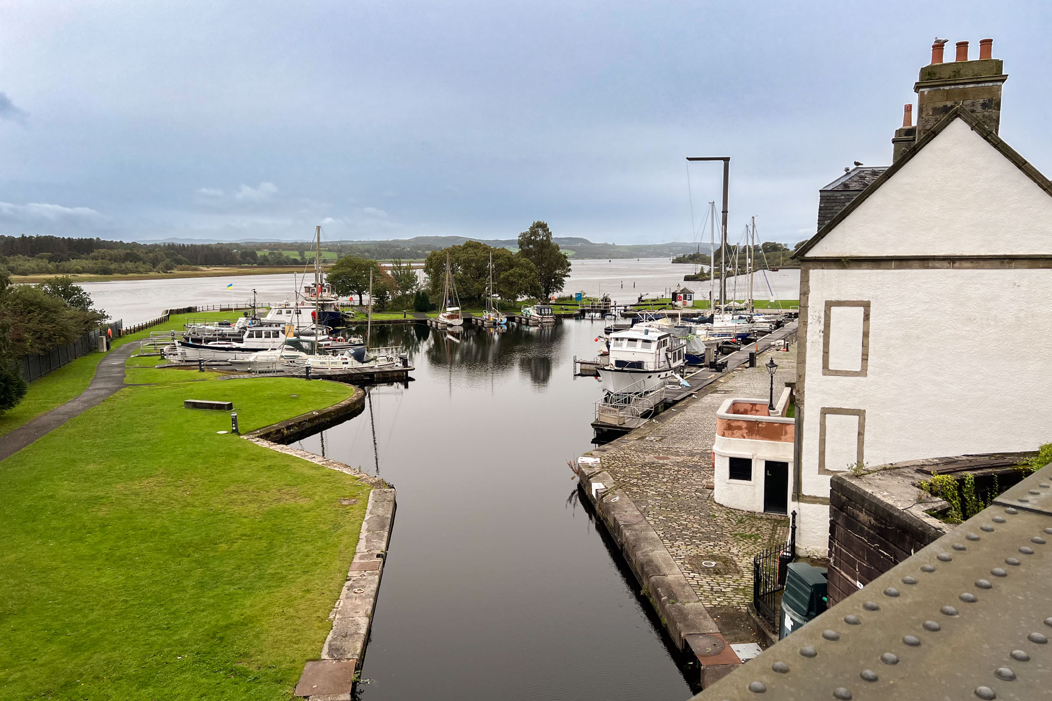
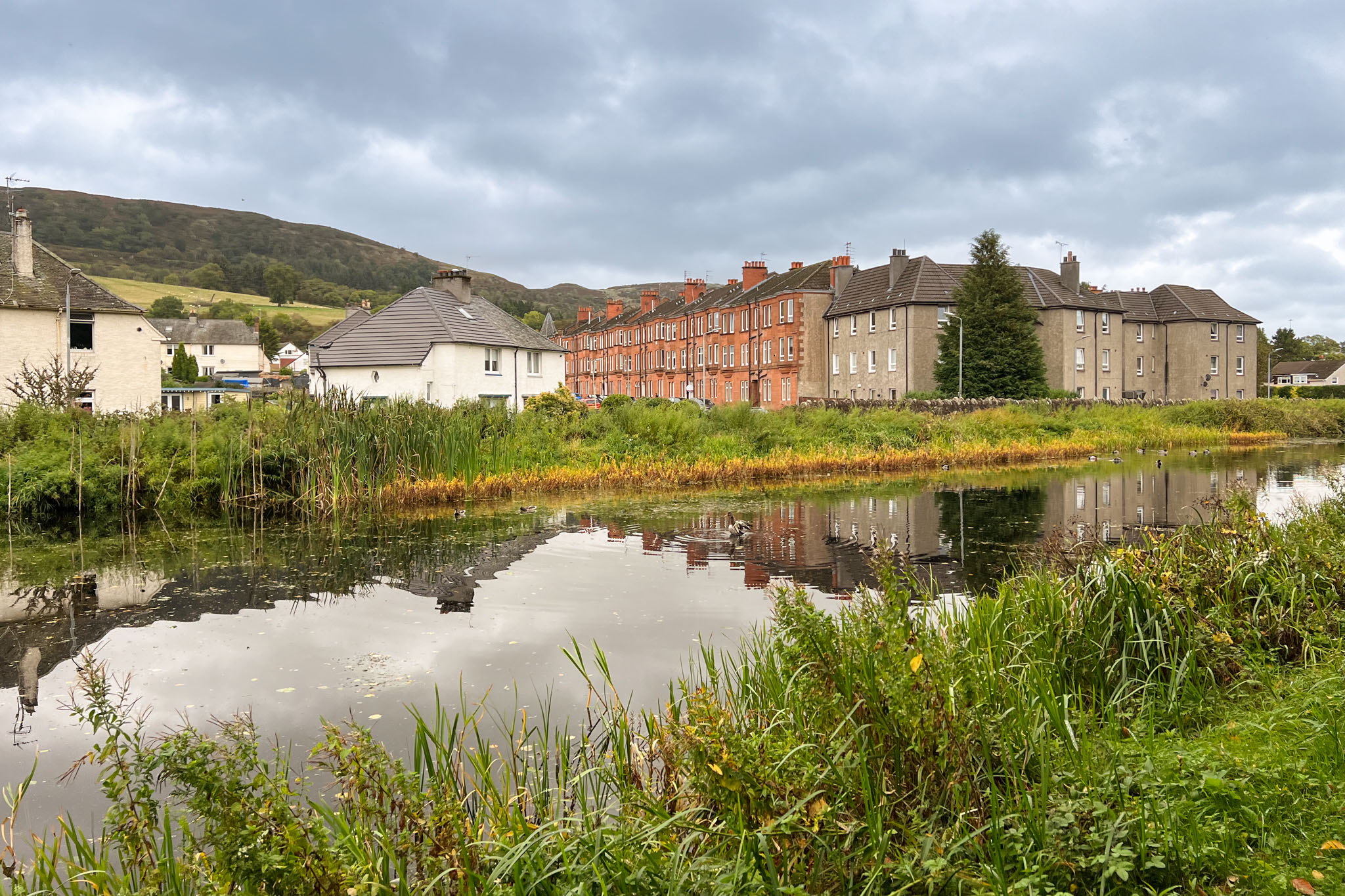
The Forth & Clyde Canal was designed by renowned civil engineer John Smeaton and completed in 1790 providing a sea to sea route for seagoing boats and freight barges across the narrow point of Scotland. This first stage is an easy walk good public transport along the historic waterway providing a green and wildlife-rich walk through Scotland's biggest city.
Terrain
Surfaced towpath, some road crossings and shared cyclepath.
Public Transport
Rail stations at Bowling by the start, and at Kelvindale or Maryhill near the end of the stage. Access to bus stops at various points.
Start
Bowling rail station.
Users' reports
As well as reading our description of each walking route, you can read about the experiences of others users on this walk and others.
There are 3 user reports for this walk - click to read them.