
Summary
An easy circuit of the woods and meadows of the Irvine Valley.


Terrain
Good earth and grass footpaths and surfaced road.
Getting there
Start
Car park by Barr Castle, Galston.
Public Transport
Bus to Galston; nearest rail station is Kilmarnock.
Start Grid Ref
NS501364


Stage 1
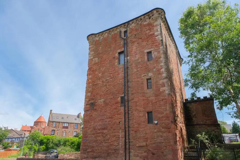
This pleasant circuit begins from the public car park on Barr Street opposite the stronghold of Barr Castle - formerly known as Lockhart's Tower - in the town of Galston. The whole Irvine valley has historic links to William Wallace, and Barr Castle was reputed to have housed Wallace and his men as they ran from English troops. Wallace invented a kind of handball game played against the castle walls in order to keep his men fit, and this unique game was played in the area until the mid 20th century. The castle has had various uses throughout the years ranging from a jail to a wood store, but is currently under the care of the local masonic lodge.

Stage 2
Leave the car park and turn right soon reaching a bridge over Burn Anne with some industrial buildings ahead. Turn left after the bridge onto Cemetery Road. Follow this quiet road through a residential area, passing the cemetery before recrossing the burn and bearing left to reach the B7037 road towards Sorn. Cross this and turn right along the pavement as directed by the obvious blue signs. Before reaching the small bridge head through a metal gate on the left to enter Burnhouse Brae Wood. Follow the earth path initially corralled between two fences before the path opens out in the woodland and begins to ascend high above Burn Anne. Keep on the higher path on the left.

Stage 3
Occasionally running next to farmland the path generally remains in the woodland, ignore any smaller paths to the right and eventually the path heads downhill to reach a kissing gate and minor road on the left. Turn right onto the road, cross the burn and take the path on the left after the bridge. Go up the steps and stay on the main path through the woods. Keep right at a path fork before descending down to the burn at a wooden footbridge on your left. Cross this and turn right on the far side. The path eventually reaches a minor road via a gate; go through this and turn right along the road for a short distance. Just past a bridge turn left onto a signed path. Follow the grassy path soon going straight through two metal gates. Keep on the main path through young trees with the burn on your left and a hedge and fields on your right.

Stage 4
At a fork with a carved wooden sign that once indicated a nature trail to Target Woods to the right, keep straight ahead (the left hand fork). This is a good area for wildlife including deer, fox, owls, ravens, hawks and other birds. The main route continues to follow the course of the burn before curving right and starting to climb uphill with panoramic views across the county to Arran beyond. On a clear day the bulk of Ben Lomond can be discerned on the horizon. Keep straight ahead at an old footpath sign to reach Target wood at the top of the hill.

Stage 5
Follow the path through the open woodland to reach a minor road at a kissing gate. Turn right and continue to enjoy the views as the road heads downhill towards Threepwood Farm. At the farm keep left on the road downhill until a house on the left and a road junction. Turn right on the minor road signed with the blue footpath post. Ignore the fence track on the left and after the road curves right turn left through a kissing gate into the wood. This path soon rejoins the outward route at the footbridge. Keep ahead here to retrace the route back to Barr Castle.

Route Profile
