Summary
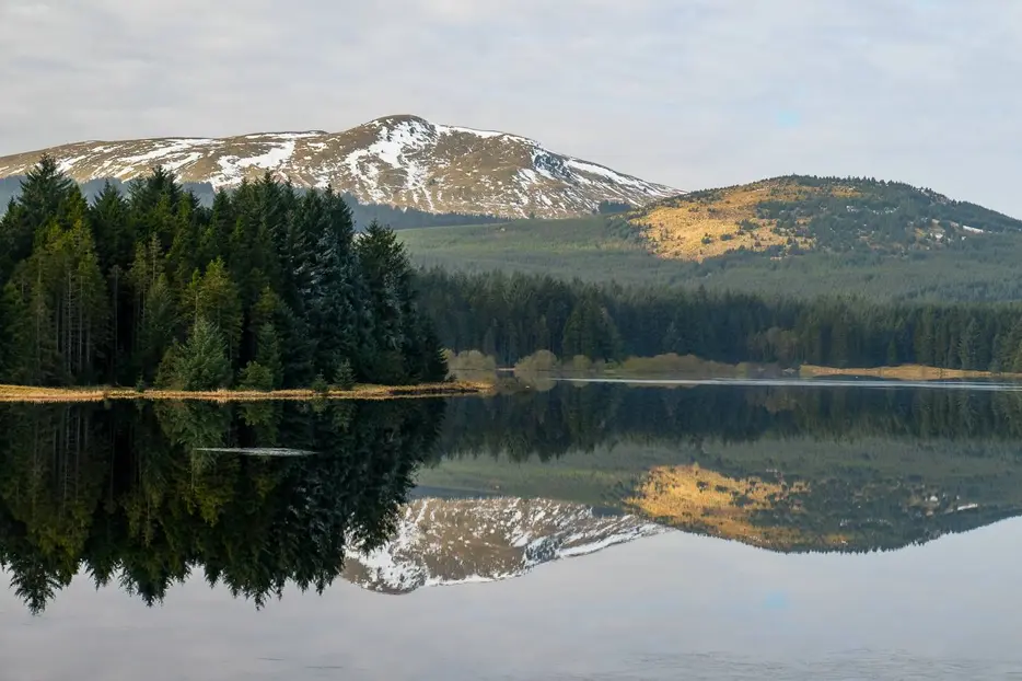
This short waymarked walk explores the southern shores of the Carron Valley reservoir, giving some excellent views across the water.


Terrain
Waymarked paths and tracks.
Getting there
Start
Forestry Commission's Carron Valley car park just east of the Carron dam.
Public Transport
None.
Start Grid Ref
NS720838

Stage 1
Park at the Carron Valley forestry car park, which is off the B818 through the valley. There is a parking charge, toilets and a picnic area. Begin the walk by following the waymarked trail that runs parallel to the track heading west towards the dam; the path is separated from the track by a fence. It crosses a wooden boardwalk and winds through the trees before rejoining the track.

Stage 2
Go straight across onto a smaller signed track that continues towards the dam. When this reaches a gate, take the waymarked path off to the left. This climbs up through the trees to join another track at a higher level; turn right along this, keeping right onto a path and and passing above the dam. The trail enjoys good views across the waters of the reservoir, which was created in 1939 and is over 4km long.

Stage 3
Soon a bench is passed, then a small footbridge and later a picnic table. A short stretch of path that branches off to the right enables you to keep nearer to the water, but the two paths rejoin again further on.

Stage 4
Beyond this the path reaches the track once more - turn right along it. At the next signed junction turn right onto a path to once again join the attractive reservoir shores.

Stage 5
Eventually a t-junction is reached. Turn right here to make a detour to a picnic table set on a grassy promontory that projects into the loch. This is the furthest point of the walk - from here the hill of Meikle Bin looks impressive; it is usually climbed from the car park at the west end of the lake. Return to the t-junction and this time keep ahead, then turn left when a track is reached. This soon rejoins the outward route - retrace your steps to head back to the start.

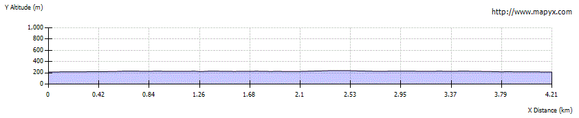
Route Profile