
Summary
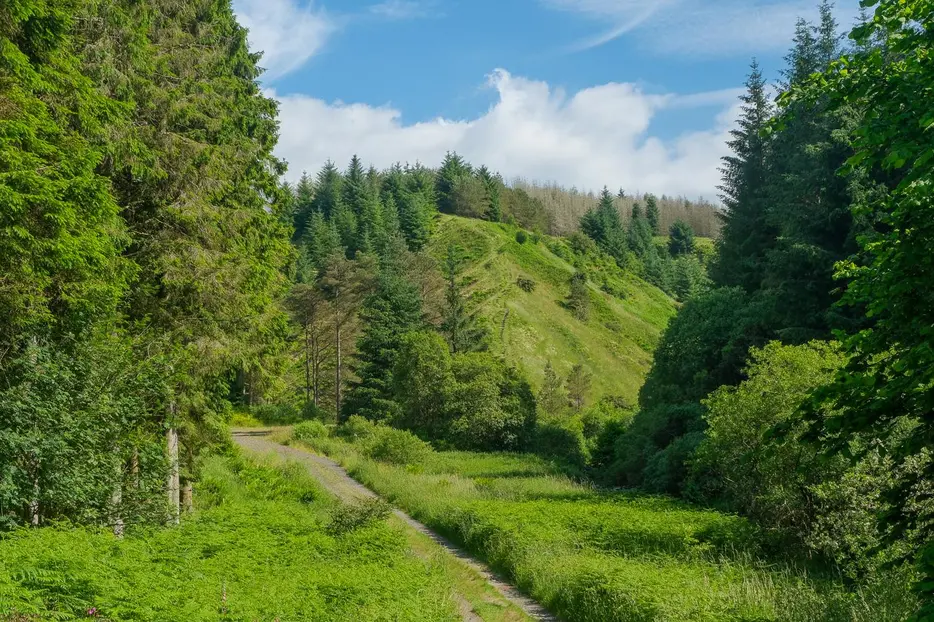
A straightforward wander through Changue Forest offering some panoramic views over the Stinchar Valley and Carrick hills.


Terrain
Waymarked woodland paths and forestry tracks.
Getting there
Start
Dedicated trails car park 1km east of Barr.
Public Transport
None to start.
Start Grid Ref
NX286941

Stage 1
Pass through the beautiful conservation village of Barr to reach a dedicated walker's car park 1km east of the village. Turn left uphill at the road fork to reach it rather than straight ahead which is confusingly also signed for a car park (Forestry Scotland one for the Fairy Knowe). The walk could easily be started from within the village by following the Water of Gregg east. There is an information board in the car park, this route follows blue waymarker arrows. Leave the car park on the entrance track back towards the village and turn left along the track towards Craigmalloch. Pass through the Forestry Scotland car park following signs for Fairy Knowe trail. Stay on the track to pass Changue House and go through a gate to reach a fork in the track.

Stage 2
Take the left fork (signed Fairy Knowe) and follow the track as the glen becomes steeper and the mixed deciduous and coniferous forest alongside the track denser. This easy walking continues for 1km before the track crosses a bridge and begins a gentle curve to the left. Ignore the Fairy Knowe path to the right unless you want to take the short but steep detour over a wooden footbridge and up grassy steps to a great picnic spot at the top (if you do, then return to the same spot and continue along the track).

Stage 3
Continue along the main forest track for another 1km before taking a smaller footpath branching left at a clearing signposted 'Devil's Trail' and marked with the blue waymarker arrow. This narrow grass path heads uphill steeply - in sharp contrast to the easy walking encountered to this point. Surrounded by the massed ranks of a conifer plantation the path widens slightly and the gradient eases and a felled area allows views at one point. Reaching a T-junction, turn left along a more substantial track and follow this for 1km through the trees to round Changue Point whilst looking out for a small waymarked path heading down the gully into the trees on the left.

Stage 4
This narrow, stepped path makes a steep descent down to Changue Burn - a haven for wildflowers such as primroses and bluebells in the right season. Continue on the path and cross a footbridge and soon start to climb back out of the valley. The path follows the edge of the forestry with a field on the left and views to the house at High Changue ahead. After crossing a small footbridge the path bears right up through trees to emerge on a track. Turn left to pass High Changue and go past a vehicle barrier to continue on the track which has impressive views across the Stinchar Valley to the wild hills beyond.

Stage 5
Ignore the track on the right with the bench opposite and continue ahead. The hills to the right are the site of the legend that gives this route its name. The Laird of Changue - a notorious smuggler and prolific fighter - struck a deal with the Devil in which the Laird would achieve great financial prosperity in return for his soul. The Laird's smuggling enterprises flourished, he spent lavishly but always seemed to have money and success. Over time the deal with the Devil was forgotten until it was time to deliver - at which point the Laird decided he was unwilling to uphold his side of the bargain. Laying his Bible on the ground he drew a circle around himself on the hillside with his sword and with a display of impressive swordsmanship successfully defeated the Devil and drove him off. High on the hillside the devil's footprints, the circle drawn by the sword and the mark of the Bible in the grass can still be seen. Follow the track downhill to return to the car park.

Route Profile
