Summary
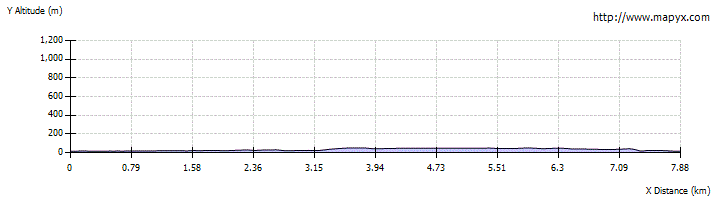
This enjoyable urban circuit from Glasgow's West End begins along the Kelvin Walkway before climbing up to reach the Maryhill Locks on the Forth and Clyde Canal. The canal towpath is then used along the branch towards the city centre, before cutting back to the side through the streets of Kelvinside.

Grade

Bog Factor
Terrain
Pavements, streets, towpaths and cyclepaths. The route includes steps.
Getting there
Start
Kelvinbridge subway station.
Public Transport
The walk begins from the Kelvinbridge subway station on Glasgow's underground metro. This point can also be reached by bus on the Great Western Road. Note that there is nowhere to park a car here - nearest car park is off Park Road.
Start Grid Ref
NS574669