
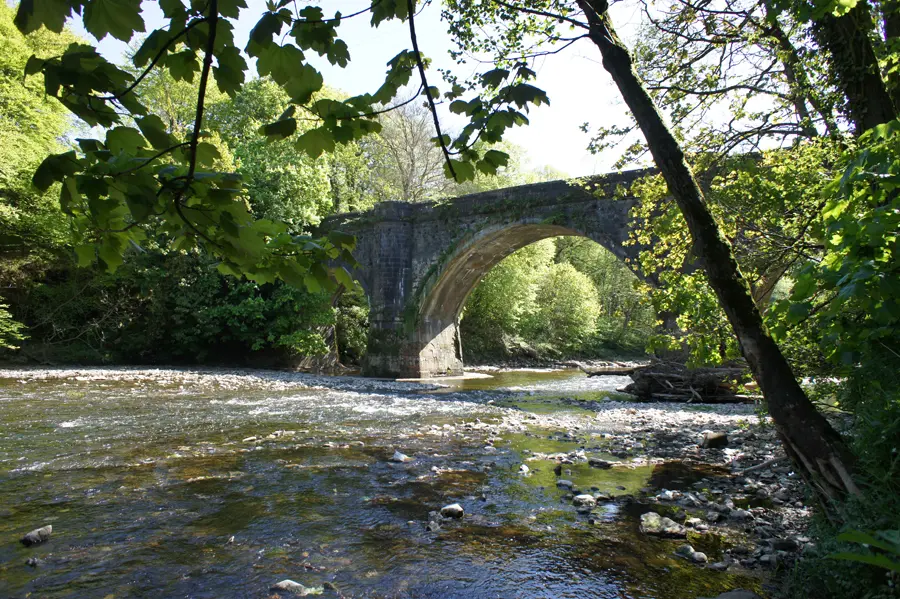
There is a real satisfaction in tracing the length of a river, and this route traces the length of the River Ayr from its source - Glenbuck Loch - to the sea at Ayr. It offers a variety of landscapes, starting in wild moorland rich in natural and industrial history, and following the growing Ayr as it becomes a powerful waterway, driving mills and carving a route through rocky gorges. The final section follows the river through open farmland and estates before reaching the historic county town of Ayr, finishing at the harbour.
The route makes an excellent weekend or long weekend trip, with limited accommodation along the route It can also be walked in sections although public transport does not serve all stages.
Get our FREE App
Download stages & GPS mapping
STAGE DESCRIPTIONS
THE CHALLENGE
The River Ayr Way is well waymarked and offers easy walking throughout.
ROUTE MAP
ROUTE PLANNING
- 0km - Glenbuck
-
8.5km - Kames
Campsite, pub.
-
28.5km - Sorn
No facilities.
-
31.5km - Catrine
Cafes, buses.
-
47.5km - Stair
No facilities
-
52km - Annbank
Bus stop.
-
67.5km - Ayr
Large town with hotels, B&Bs, restaurants, shops, buses and train staiton.
USERS' REPORTS
Share your report for the chance to win gear every month