A new access gate near Pattack Falls – enabling walkers to reach a new bridge over the River Pattack – has enabled improvements to be made to the route of the East Highland Way. The new stretch uses a track and a path to avoid what used to be an unpleasant 2km stretch of road-walking on a busy, twisty section of the main A86 road; it is the latest in a series of changes which have reduced the road walking on the route by around 13km in total.

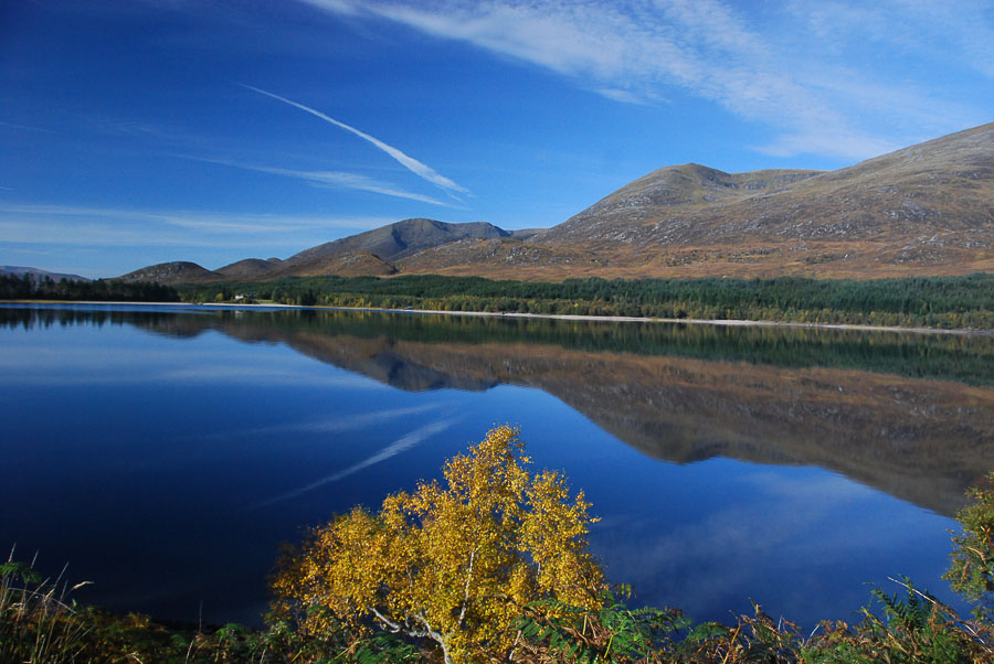
Loch Laggan from the East Highland Way
Kevin Langan, who devised the route (as well as writing the guidebook), said “The East Highland Way started life as a ‘virtual desire line’ theoretically fusing together many of Scotland’s existing long distance trails. After years of planning and months of hiking we have managed replace almost 10 miles of difficult road walking with alternative hill trails and delightful forest walks. Route waymarker signage has already been implemented through the Ardverikie & Corrour Estates and this new kissing-gate and bridge over the River Pattack perfectly resolves what was once a tricky road walk. A new East Highland Way Map has been published (by Harvey Maps) already showcasing this new section through Strathmashie which means the route is in great shape for the forthcoming walking season!”
East Highland Way on Walkhighlands.
Kevin Langan’s guidebook is available on here on Amazon.
The Harvey Map for East Highland Way is also available here on Amazon.