
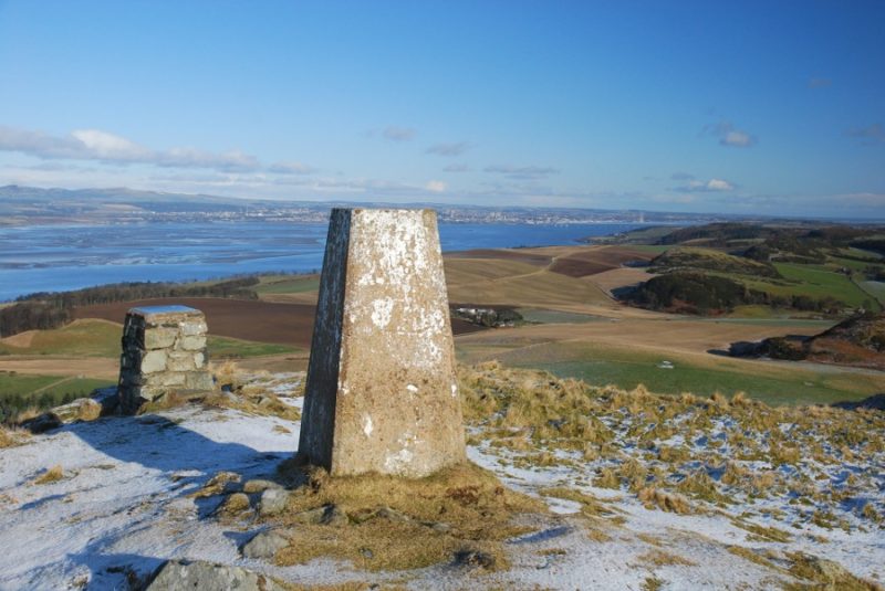
We are celebrating adding the 1,000 free walking route to Walkhighlands! The thousandth route was a fairly short jaunt up the the small but excellent hill of Norman’s Law in Fife.
Paul and Helen decided to start the site during a year-long 4,000 mile walk across continental Europe. It was the experience of a lifetime – and convinced them to try to bring the pleasures of walking to a bigger audience. During the three years since starting Walkhighlands.co.uk the site’s founders Paul and Helen Webster have been working away to provide the biggest, most comprehensive and well-featured walking routes site in Scotland – and have stuck to their original commitment to make it all available free. Adding an average of almost one new route every day has kept us busy but we’ve also been regularly launching new features. The combination has meant that, although covering only Scotland, Walkhighlands has now become the busiest walking routes website in the UK.
Features now include:
- Over 1,000 detailed, well illustrated route descriptions covering walks at every level of difficulty.
- Free 1:25 000 (and 1:50 000) Ordnance Survey mapping of every route
- Hill-baggers can record your ascents of Munros, Corbetts, Grahams, Marilyns, Hewitts and Wainwrights on their own personal interactive baggers map – and connect their tally to their Facebook account
- Files to download to your GPS for each walk, compatable with all major devices (including smartphones) and brands of software. Our files are based on on-the-ground research for the greatest accuracy and detail
- Help finding the start of routes: maps showing start points, public transport links, co-ordinates to input into your Satnav, or driving instructions available from anywhere in the UK to the start of each walk
- Keep your own walks diary, recording your experiences and photographs
- Read and share the experiences of others, seeing their photos and videos from every trail; all are automatically linked to from the routes and hills for easy reference
- Gaelic podcasts of the pronunciation of most route names and meanings in the Highlands, including all hills
- On your trip reports, easily draw your route on an OS map (or upload from your GPS) to illustrate where you went to others
- Virtual Highlands – use Google Earth-powered tools to view routes and explore the landscape in 3D. Includes accommodation locations, and a special mode that allows you to wander the landscape from ground level – including the views from the summits.
- Meet up with other walkers or simply discuss routes and gear in the lively forum
- GPS planner – use our free 1:25 000 OS maps to plan your walks.
- One of the Highlands largest databases of accommodation, made easy to access from across the site and featuring over 2,000 places to stay.
- Latest outdoors news from across Scotland
Happy walking!