
Summary
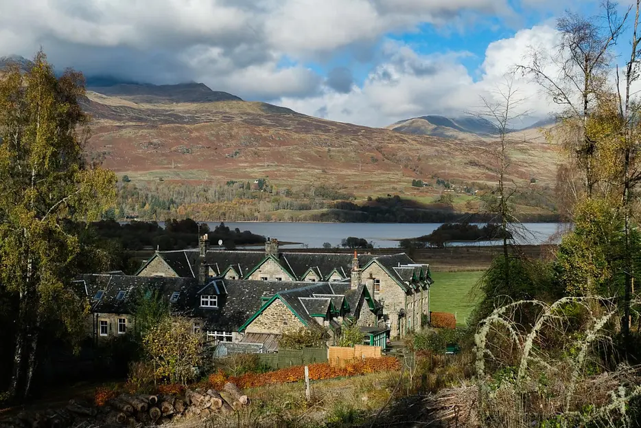
This easy going circuit follows tracks and minor roads to the southeast of Killin, passing above Auchmore House and with views towards the Lawers range.


Terrain
Minor roads and tracks, gentle gradients.
Getting there
Start
Layby near Falls of Dochart on A827, east of Killin centre.
Public Transport
Buses to Killin.
Start Grid Ref
NN570323

Stage 1
The walk starts from the Falls of Dochart, a renowned beauty spot where the River Dochart cascades over its rocky bed above the Bridge of Dochart at the west end of Killin. There is a small parking layby beside the river a short distance west of the bridge; if full then there's a car park over the bridge and off to the right. Beginning from the layby, take the minor road that leads off south next to the Falls of Dochart Inn, signed for Ardeonaig and South Loch Tay.

Stage 2
The road passes beneath the supports which once carried a railway bridge, and then curves left. When it bends right leave it and continue straight ahead on the track with the Auchmore sign. The track climbs gently through attractive woodland. Further on there are more open views to the left - look out for the Kinnel stone circle visible in the distance.

Stage 3
As height is gained the views improve, and there is a fine view of the head of Loch Tay backed by Beinn Ghlas and Ben Lawers.

Stage 4
Cross a bridge over the Achmore burn and continue on the track, ignoring any turnings on the left and instead passing above Auchmore House. Eventually the track emerges on a minor road - turn sharp right here to begin the walk back to Killin.

Stage 5
The road leads pleasantly back, soon crossing the Auchmore Burn. It climbs very slightly before descending to rejoin the outward route and return to the start.

Route Profile
