
Summary
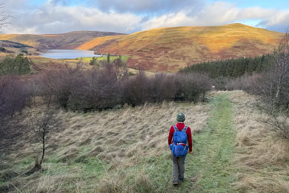
This waymarked circular hillwalk heads around Ben Shee - making it a less strenuous alternative to the Glensherup circuit. There are excellent views and some fine native woodlands regenerating thanks to the work of the Woodland Trust.


Terrain
Waymarked paths, but rough going on the hill and often wet in places.
Getting there
Start
Woodland Trust's Glen Sherup car park, 1.5 miles west of Glendevon.
Public Transport
None to start.
Start Grid Ref
NN971051

Stage 1
The route begins from the Woodland Trust car park at the foot of Glensherup, in Glen Devon. This route is waymarked; it begins along the footpath from the info boards. The path climbs alongside a burn and soon reaches a forestry track - turn right along this. After just over 1km a signed junction is reached - turn right here onto the footpath heading downhill, signed for Lower Glendevon Reservoir.

Stage 2
The path descends through the trees, with the Glensherup Reservoir visible below. When it forks don't take the direct path down to the dam which is dangerously eroding, instead using the more comfortable zig-zag route that aims left at first and then cuts back right. Down at the reservoir, take the path along the top of the grass-covered dam. At the far end follow the path that swings left and then back right uphill to reach a track at a gate. You'll return to this point on the return; but for now, turn left along the track up the glen.

Stage 3
When it nears a fenced area around a cabin leave the track and take the path around the fence to the right. This rejoins the now grassy track beyond the cabin, heading up the glen and passing through a gate. The route continues up the glen for over a kilometre, passing through regenerating native woodlands. Eventually the path turns and becomes rougher, as it climbs to the bealach (pass) between Ben Shee on your right and the main mass of the Ochils to your left. There are good views back over the reservoir.

Stage 4
The gradient eases as the flat shoulder of the hill is gained. When the rough path meets a grassier one (part of the Glensherup horsehoe route) turn right along it for 100m or so until a signpost indicates where to turn off it to the left. The path ahead continues to the summit of Ben Shee if you want to make the detour; otherwise take the path left which has a waymarker. The path now descends, with views over the Upper Glendevon reservoirs.

Stage 5
The path can be muddy in places as it passes through areas of native trees and some plantations, descending towards the reservoirs in the glen ahead. Eventually a signposted t-junction of paths is reached - turn right here, marked for 'Glendevon Reservoirs Trail & Loop Paths'. The path crosses a couple of burns and keeps south of the burn at the foot of the glen, with a fish hatchery building visible on the other side. The going is boggy in places but reasonably clear to follow with occasional markers. It keeps to the right of the burn and continues down Glen Devon.

Stage 6
Pass through a large metal gate at the right of a block of forestry and continue straight ahead. The route becomes less clear as it leads across an extensive grassy area; keep ahead, gaining height slightly and then descending towards the farmhouse at Wester Glensherup. Aim just right of these buildings to descend to a tarmac lane, and turn right along this. Continue along the lane to a cottage near the Glensherup reservoirs, and pass to the right of this. The outward route is now rejoined (as mentioned at the end off Stage 2). Turn left to descend to and recross the grassy dam, retracting your steps back from here to the start of the walk.

Route Profile
