
Summary
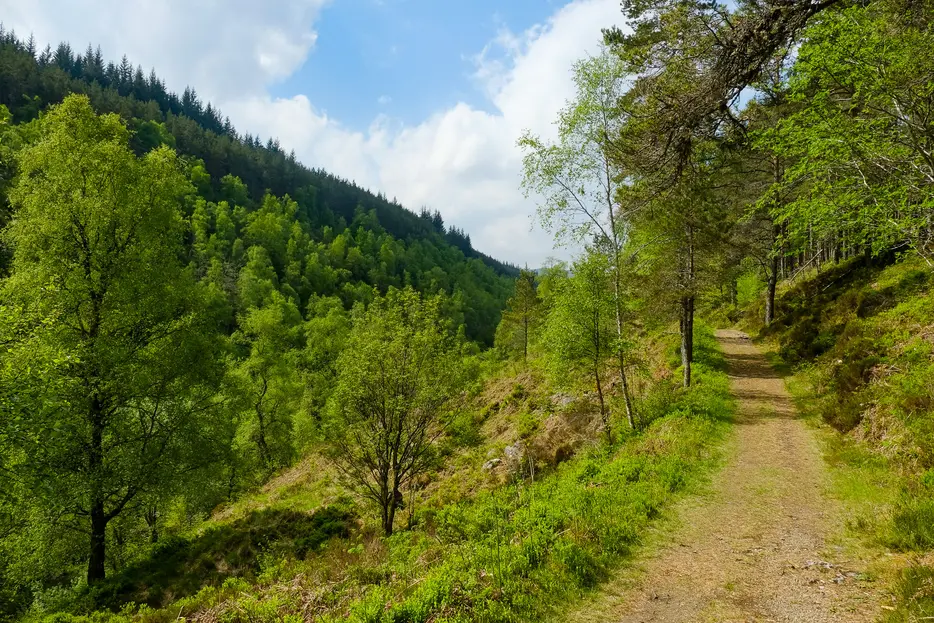
This excellent waymarked walk combines easy walking on forest paths and tracks with beautiful mixed woodland, including remnants of the ancient Caledonia Forest. There are good views over Loch Rannoch towards the end..


Terrain
Waymarked paths and forest tracks throughout.
Getting there
Start
South Loch Rannoch Forest car park, Carie.
Public Transport
None to start.
Start Grid Ref
NN617570

Stage 1
The walk begins from the Forest and Land Scotland car park at Carie. There are three waymarked walks here - the blue and red routes are very short, so our route follows the yellow waymarkers. Begin by heading towards the footbridge over the falls, but do not cross it, instead continuing on the near side.

Stage 2
Before reaching the picnic tables and shelter turn right, heading gently uphill (waymarked in red, yellow and blue). Keep right at the junction reached almost immediately, and then continue uphill until a cross paths is reached. Turn left here (yellow marker) along a broad path. Follow this, which soon becomes a delightful path - with pines to the left and more open native woodland to the right. Ignore the red path off left at a junction, instead following the yellow marker posts ahead.

Stage 3
Follow the path through the trees. It eventually rises high above the Allt na Bogair, glimpses of which can be caught through the trees on the left. The forest floor is quite open here and blaeberry and bracken flourish at the side of the path. The route passes through lovely Scots pine and birch woodland.

Stage 4
A waterfall can be seen from near the footpath, take care as the drop is very steep here. Eventually the path descends to the burn. Continue on the path which curves right to join a track. Turn right here; the route to the left is the historic Lairig Ghallabhaich route to Glen Lyon, a fine hill pass but best done as a linear route. Instead follow the wide forestry track for a short while, passing a large forest lochan.

Stage 5
When the track swings left take the yellow-marked path directly ahead through the trees, following it until it emerges onto another track. Turn right along this. There are occasional glimpses of Loch Rannoch through the trees on this section.

Stage 6
Continue along the track for over 2km where the track bends left; here turn onto the yellow waymarked path to the right (there are two old small cairns).. The path undulates through semi-cleared forestry to a small viewpoint with a sculpture, and then descends until the outward path is reached at the cross-paths. Go straight across here and then left at the next junction to return to the car park and the start of the walk.

Route Profile
