Summary
This circular walk heads upriver beside the attractive Water of Ruchil from Comrie village. The return is a mix of minor roads and paths, and gives a chance to visit Cultybraggan Camp - now owned by the community but once a POW camp.


Terrain
Earth footpath beside river, minor roads and paths. Fairly short busier section on the B827.
Getting there
Start
Comrie.
Public Transport
Comrie is served by both local and long-distance buses.
Start Grid Ref
NN773218

Stage 1
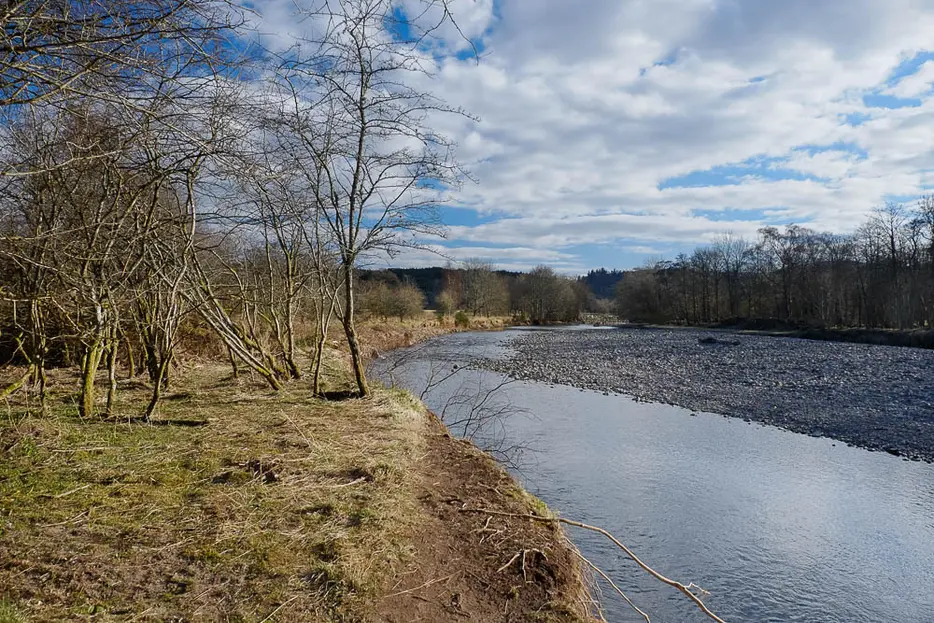
From the main street in Comrie, turn south and cross Dalginross Bridge over the River Earn. On the far side there is parking on the lane immediately off to the right. Leave the parking area by the path which heads upstream beside the river - it is signed for Cultybraggan. Almost immediately it passes the confluence of the Water of Ruchill with the River Earn and continues upstream by the former. Sections of the former main path have been lost to the river, but it remains straightforward in normal conditions to follow paths through the trees, going straight across a rough track.

Stage 2
At times the path heads along the field edge alongside the trees bordering the river; at one point there is a choice between a riverside path and one to the left of the trees; the two routes rejoin further on. When a signed footpath for Cowden Road goes off to the left (a possible shortcut), contine by the riverbank. The path eventually leads past a former sewage works, and crosses a stile - again keep by the river.

Stage 3
Eventually the path leaves the river and heads towards Cultybraggan Farm - note the old graveyard on the left. Go through the farm gate and to the right of the barn, then turn left at the minor road.

Stage 4
The road soon passes the entrance to Cultybraggan Camp - the entrance is on the left. During World War Two this POW camp was one of two in the UK that housed some of the most dangerous Nazis due to its remote location. On 22 December 1944 the POWs held an infamous kangaroo court and murdered their Sergeant Wolfgang Rostberg as an informer - 5 of the POWs were later convicted in a high-profile trial and hanged at Pentonville. Today it is community owned and provides a base for several businesses. The huts are impressively preserved - the first on the left side is a Heritage Centre giving more information (and sometimes guided tours of the camp).

Stage 5
Back on the road, follow it to a t-junction with the B827 and turn left along this, towards Comrie. After around 700m turn right onto a footpath signed for Muirend - the path begins next to a giant cup-marked stone - marked as a Roman Stone on maps - which stands at the corner of what was once a roman camp, though the stone itself is much older. The path runs between two fields; keep ahead at the gate and stile.

Stage 6
Eventually the path reaches a tarmac lane - signed as a path itself in both directions. Go straight ahead here onto the path into the trees. Keep ahead until another sign indicates a turn left for 'Strowan Road', passing over a footbridge. This path continues a little indistinctly through the woods before emerging on South Crieff Road. The route continues almost opposite onto Strowan Road, but first detour to the right to see the remains of a prehistoric stone circle. After viewing the circle, return to Strowan Road and follow it back through the houses of Comrie to return to Dalginross Bridge and the start.

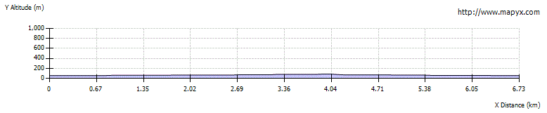
Route Profile