
Summary
This rounded and uncelebrated Corbett makes for a short but rough outing from Loch Glascarnoch. The hill is redeemed by the fine views from the summit.
Grade

Bog Factor

Rating
Distance
Time
(in summer)
Ascent
Terrain
Pathless boggy and heathery hillsides; some stonier ground higher up.
Are you REALLY ready for winter hills?
Hillwalking when there is snow lying requires an ice-axe, crampons and knowledge of how to use them safely. The description here is for summer conditions.
See our Winter Skills page for basic information on the essential skills, techniques and knowledge needed for winter.
Getting there
Start
Parking area at NH288736 on the loch side of the road.
Public Transport
Buses between Ullapool and Inverness pass the start.
Start Grid Ref
NH288736
Summits Climbed

Stage 1
There is a parking area on the Loch Glascarnoch side of the A835 near the northern end of the loch, around a kilometre southeast of Torrandhu bridge. Begin the walk by heading briefly east along the road verge until a good point to strike off southwards across the road, crossing boggy ground and keeping to the left side of the young forest plantations. Cross a makeshift gate in the fence that runs across the hill, adjacent to where it meets a fence enclosing the trees. Continue briefly up beside the forest fence before aiming across the pathless heather slopes up onto the plateau of Meall Daimh. There are good views back across the loch to Am Faochagach and the Beinn Dearg group.

Stage 2
The gradient eases onto a plateau, and easier walking follows on very gradual climb towards the highest point of Meall Daimh. From here the views expand to include the massive bulk Ben Wyvis. From here head southwest into a boggy bealach before beginning a long, steady pull up more heathery slopes.

Stage 3
After a steep section the gradient does ease a little but there is still a considerable final climb up towards the summit of Beinn Liath Mhòr a'Ghiubhais Li. There is some stonier ground before the summit is reached; it is marked by a circular wind-shelter cairn (little remains of the trig point).

Stage 4
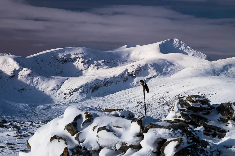
Though an undistinguished hill in itself, on a clear day Beinn Liath Mhòr a'Ghiubhais Li offers grand views of the surrounding mountains. The Fannichs - dominated by Sgùrr Mòr - look particularly fine.

Stage 5
The quickest return is to retrace your steps, but to make a circular walk head WNW to the end of the ridge - looking towards magnificent An Teallach - and then continue down the steeper, initially stony slopes. Soon the going becomes heathery once more.

Stage 6
The top of Cnap a'Ghuibhais Li is a deeply-riven peat bog so avoid it on the south side before curving down towards the track and bridge in the glen below. It is not necessary to descend right to the glen floor; instead aim for a gate in the forest fence at NH266722. From here a track leads through the young trees, climbing gently at first before descending to reach the A835 road. Turn right along the verge to reach the start in around 1km.

Route Profile
