Summary
The Forest of Ae is one of the largest areas of plantation forestry in the country. It is well known as one of the 7 Stanes mountain biking trail centres, but it does have waymarked walks too. This loop takes in part of the forest as well as the riverside and a couple of viewpoints.


Terrain
Good forest tracks and paths throughout.
Getting there
Start
Forest of Ae 7 Stanes car park.
Public Transport
Infrequent bus from Dumfries to Ae.
Start Grid Ref
NX984894

Stage 1
The walk begins from the Ae 7 Stanes mountain biking centre car park, just east of the forestry village of Ae. There is a cafe here, and a charge for parking. Begin the walk along the yellow waymarked path, soon turning right onto a track and then left at a t-junction. After just over 500m another junction is reached; turn left here to reach the overflow car park (the walk can be shortened by beginning from here if you prefer).

Stage 2
Bear right through the overflow car park to begin on the trail, waymarked yellow and brown (the wooden posts are for walkers - ignore the blue posts which are for MTB trails). The track soon leads along the riverside, and then reaches a bridge and a beautifully carved wooden bench. Cross the bridge and follow the track directly ahead on the far side. When the path forks go left (brown markers). Another track is reached; turn left along this, then right at the next junction (all with brown markers). Keep right as the route joins a track.

Stage 3
Go uphill to the next junction, then turn right (brown marker), then continue to another junction, turning right once more. The track now contours round the eastern side of a hill, for a fairly lengthy section hemmed in by giant conifers. Ignore MTB trails going off on either side. Eventually there is an area with more open views on the right, and a seat.

Stage 4
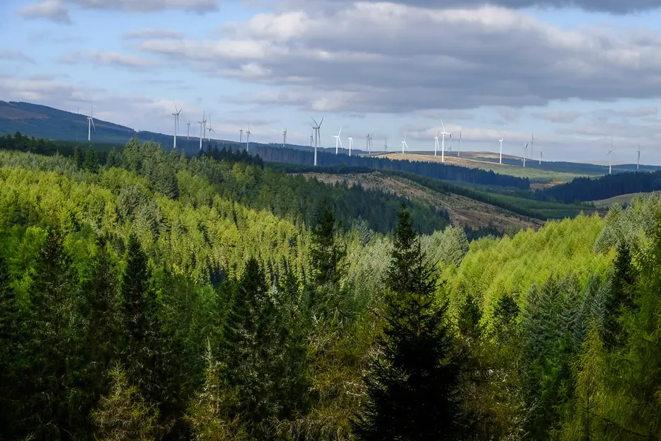
Continue along the main track until it curves round to the north. Soon there is another seat above the track on the left side, giving open views over the Harestanes windfarm and Queensberry. Continue along the track until a junction, then turn sharp right (brown waymarkers).

Stage 5
The track now descends into the glen. Ignore a MTB trail on the left, but fork left at the following junction (brown waymarker) to follow a section of path right by the burn. After a memorial seat to a forestry worker the path returns to the track. Go left along it to reach an open area with a display of old forestry ploughs. Turn left here onto another section of path through the trees.

Stage 6
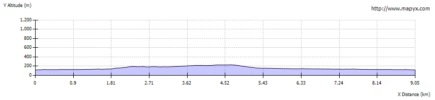
This returns to the track - go straight across this time, then left at the next junction. Go left at a fork before reaching the track once more. Go straight across it, rejoining the outward route at the bridge over the river (with the carved seat on the far side). Cross the bridge and retrace your steps back to the overflow car park, continuing to the main car park and cafe if that is where you began the walk.

Route Profile