Summary
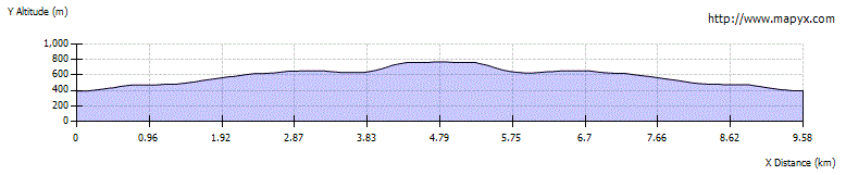
Shalloch on Minnoch is the most northerly major summit on the ridge that runs northwards from The Merrick - known as the Range of the Awful Hand. The route described here is rather boggy and featureless but provides the fastest approach; routes from the southwest give tougher going. The walk can be extended to take in Tarfessock and even Kirriereoch Hill before returning the same way back over the Shalloch - or, if transport allows, it could be the start of a complete traverse of the range including the Merrick.


Terrain
Narrow, often very boggy path until the final pathless slopes - careful navigation required.
Are you REALLY ready for winter hills?
Hillwalking when there is snow lying requires an ice-axe, crampons and knowledge of how to use them safely. The description here is for summer conditions.
See our Winter Skills page for basic information on the essential skills, techniques and knowledge needed for winter.
Getting there
Start
Road verge around 1km south of Stinchar Bridge, or use hard standing around 350m north.
Public Transport
None to start.
Start Grid Ref
NX394948
Summits Climbed
- Corbett / Donald
- Shalloch on Minnoch

Stage 1
There is no formal parking at the start of this route, just under 1km south of Stinchar Bridge. You may be able to find space on the verge at the start without impeding any passing spaces; alternatively there may be some hard standing areas not used by the forestry around 350m back north. Begin the walk from the second passing space on the left on the open moors south of the forest, where an initially faint and very boggy path heads off through the heather towards Cairnadloch.

Stage 2
After a short distance there is a small burn to cross. Beyond this the path becomes a little clearer as it aims up Cairnadloch; it is very wet but easier going than the rough heather on either side. Soon extensive views begin to open up over the forestry of Ayrshire and Galloway, with Ailsa Craig a prominent distant feature off the coast.

Stage 3
From Cairnadloch the path continues south towards the featureless slopes of Caerloch Dhu, with Shalloch on Minnoch itself seen in the distance.

Stage 4
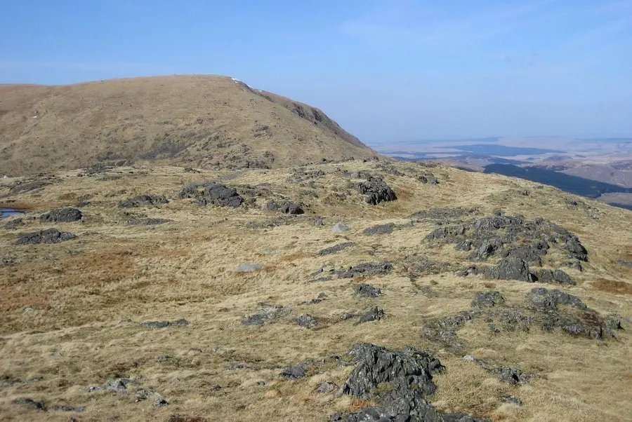
Continue up and over Caerloch Dhu, and then descend very slightly to cross a bealach to the left of a lochan. Beyond this loom the steeper slopes of Shalloch on Minnoch itself, dotted with areas of stones. The path disappears part way up this slope, but as long as you can navigate using map and compass there are no problems.

Stage 5
After passing a small cairn the plateau is reached, and the larger shelter cairn and trig-point are a short distance beyond. However, the highest point of the hill is actually further 200m SE of the trig point, marked with just a couple of stones. From here the views across to Tarfessock and the Merrick are impressive.

Stage 6
Unless intent on a much longer walk, retrace your steps back the same way. It is possible to extend the walk by following the ridge over Tarfessock and even to Kirriereoch Hill before returning all along the ridge - still an easier way to climb these hills than by their southwestern approach. The best route of all is a traverse all the way over the Merrick, finishing by Loch Trool - an excellent option but only if transport can be arranged.
Photo: Kevin Pollock

Route Profile