
Summary
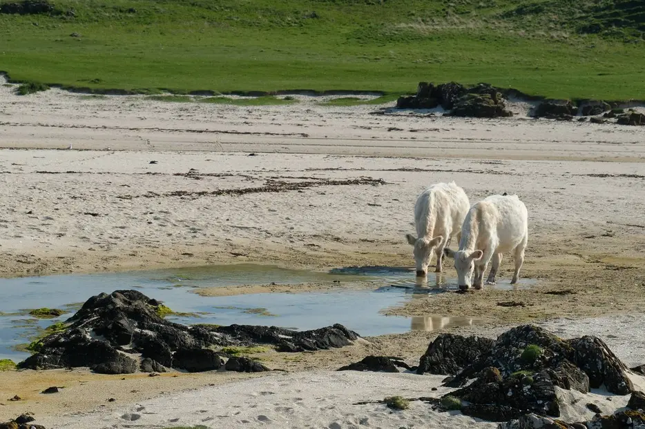
This straightforward walk leads to a wild sandy beach with great views over to the Small Isles and Skye. The return walk visits the ruined settlement of Kildavie.


Terrain
Tracks and paths.
Getting there
Start
Langamull Wood car park, on Dervaig to Calgary B8073.
Public Transport
Tobermory to Dervaig and Calgary bus, 494, passes the start.
Start Grid Ref
NM395519

Stage 1
The Langamull Woods car park is on the north side of the B8073 mid way between Dervaig and Calgary. The area is managed by the North West Mull Community Company and there is a colourful sign at the parking area - in recent years much of the forestry plantation has been felled. From here start the walk by heading along the main track. Ignore a track off right, and then bear left again at a fork. Eventually the track leads through a gate and then continues alongside a belt of trees.

Stage 2
This is open grazing land and all dogs should be kept under tight control. The track descends gently with glimpses of the sea ahead. When the signed route for Kildavie goes off to the right (this is taken in on the return) continue ahead through another gate. Leave the track by taking a grassy path that heads left of the buildings. Go through the gate ahead to cross the field keeping the stone wall on your right (ignore the gate into the field nearer to the sea). Pass through the gate at the far side of the field, then turn right at a junction shortly afterwards on a track heading towards the sea (the left run leads to Port Langamull which makes a good diversion from this the walk).

Stage 3
Soon the white sand of Bagh Chrossapol (or Langamull Beach) comes into view with a stunning view of Rum in the background. On a clear day the other Small Isles and Skye are also visible. Soon bear right onto a narrower path heading directly for the beach.

Stage 4
The beach is a great place to potter about in all weathers.

Stage 5
When you are ready to return retrace your steps back to the sign for Kildavie Settlement after the gate by the house and turn left through high gate to follow onto the marked path.

Stage 6
The path winds through a felled area, eventually heading downhill. After crossing a small footbridge continue following the path which soon swings right to reach an area where the remains of the houses of Kildavie can be seen. The turf-covered ruins date from the 18th century although archaeologists believe it is likely that this spot was settled much earlier. Continue on the path which soon climbs up to join a large track. Turn right to follow this back to a junction the outward route - go left here to return to the car park.

Route Profile
