We took a social media break for Walkhighlands for most of October – which seemed to speed up our work on the website and app considerably. So what have we been up to?
Making maps
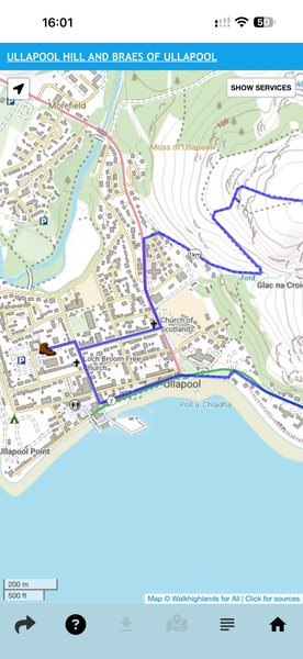
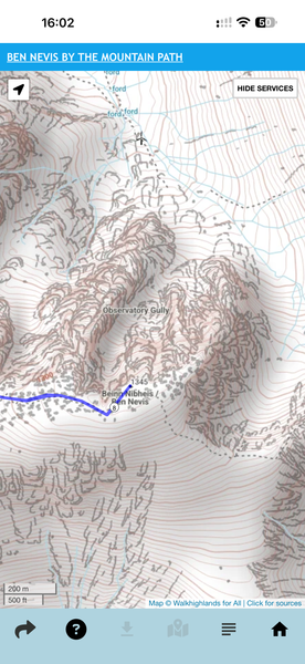
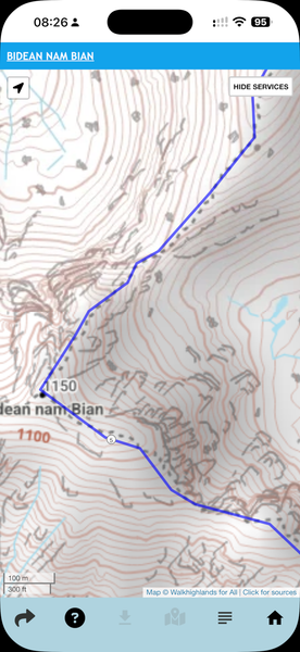
We make our own route maps especially for Walkhighlands, combining detailed topography from the Ordnance Survey (we reckon their crags and contours are really vital for navigating on the hill safety – alarmingly many apps lack this sort of detail) with the more up to date footbridge, track and path data from OSM. Hopefully this gives the best of best worlds.
This month we’ve made a new updated set of maps for the whole of Scotland. These new versions have everything that was on the previous set, but updated and now also adding more types of tracks and helpful additional local detail we’ve not shown previously – such as churches, golf courses, most distilleries, many more castles etc. When used in our offline app, of course, your current location can be shown.
Appy Hour
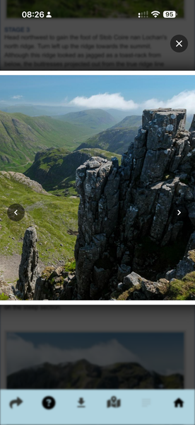
We released another set of updates to our app, available in both the Google Play and Apple App Stores. This includes the two most-requested features we’ve had since launching. You can now click on photos in the walk descriptions to zoom into them – and pan around them – without also zooming and breaking the app layout. You can also enlarge the 1:17,500 zoomed map to make it larger / easier to see, without increasing the amount of data your phone has to download to show offline.
Pie charts for Baggers, pie supplies for long distance walkers
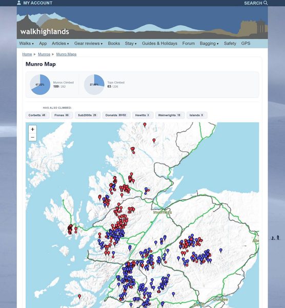
You might have noticed a new look for many pages including your hill-bagging maps – we’ve added target pie charts to them all, and adjusted the design. Everything seems better when there are pies (or, in this case, target pie charts). We’ve also improved the design for how walk reports are displayed (and the posting screen for them too). This is all part of a larger set of redesigns we’re introducing to give a more modern look to Walkhighlands.
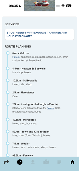
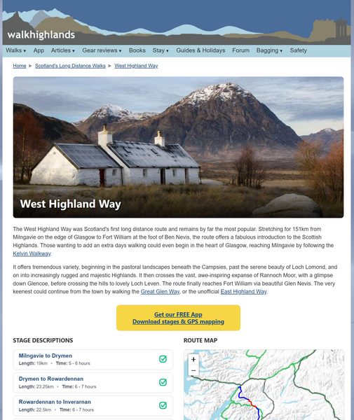
A bigger set of updates is to our long distance routes. These have had a complete redesign, and also a new feature to help you plan the route with regards to finding facilities, transport and accommodation along the way. Each long distance route now has a node diagram showing the distances between shops, bus stops and possible places to stay.
Orkney updates
Besides minor updates to a few routes in Lothian, Strathspey and on the Black Isle, our biggest walk updates from October were in Orkney – which continues to have several long-running access problems. We added the St Magnus Way route, but also rewalked and rewrote 25 of our existing walk descriptions. These included almost all our routes on Rousay, South Ronaldsay, across Deerness and several on Mainland.