Summary
The Balranald Nature Reserve includes the westernmost point of North Uist - the Aird an Runair peninsula. This waymarked route encircles the peninsula and offers great sea views as well as the chance to spot a wide variety of birds, including the elusive Corncrake.


Terrain
Waymarked route, with tracks, grassland, some rougher sections and a short stretch of beach.
Getting there
Start
Balranald nature reserve Visitor Centre.
Public Transport
Bus from Sollas (W17).
Start Grid Ref
NF705707

Stage 1
There is parking at Goular Cottage which acts as a visitor centre and gives an excellent introduction to the nature reserve. In the summer months corncrake walks are often arranged in the evenings from here; these elusive birds are more often heard than seen but this is one of their few remaining strongholds. The walk itself is waymarked and begins by heading along the sandy track past the crofting buildings before curving left. Look out for the marker stones which have a red band (and less obvious arrow).

Stage 2
At the next junction of tracks curve right, beside a cairn marker, and then continue straight ahead across the machair. This is a mixture of peat and sand and is well-drained and fertile, ideal for crofting. It is rich with flowers in the early summer. Eventually the track passes the north end of Tràigh an Iar, a beach which stretches into the distance on the left, and then continues to a parking area.

Stage 3
The remote Monach Isles are visible over to the left, home to a massive grey seal colony. Go through the iron kissing gate and continue along the grassy coastline. Over to the right is Loch a' Roe, usually alive with birds; if you are here in early summer the sky is packed with terns, oystercatchers and plovers. Continue following the marker cairns to the furthest point of the peninsula, which is the most westerly point of the main Western Isles chain. The walk passes another freshwater loch before following the coast to the northeast.

Stage 4
The going is a little rougher underfoot in places on this stretch but still well marked by cairns. Look out for Arctic Skuas with their forked tails - they are not averse to dive bombing unsuspecting walkers crossing their territory! The route then passes through a gate in a fence before passing between a farmed area of machair and the coastline.

Stage 5
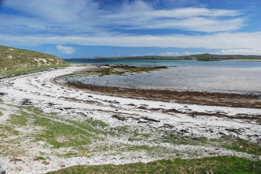
It eventually descends to the beautiful sandy beach of Tràigh nam Faoghailean. Continue the walk; the path eventually rejoins the outward track. Turn left along this to return to the visitor centre.

Route Profile