
Summary
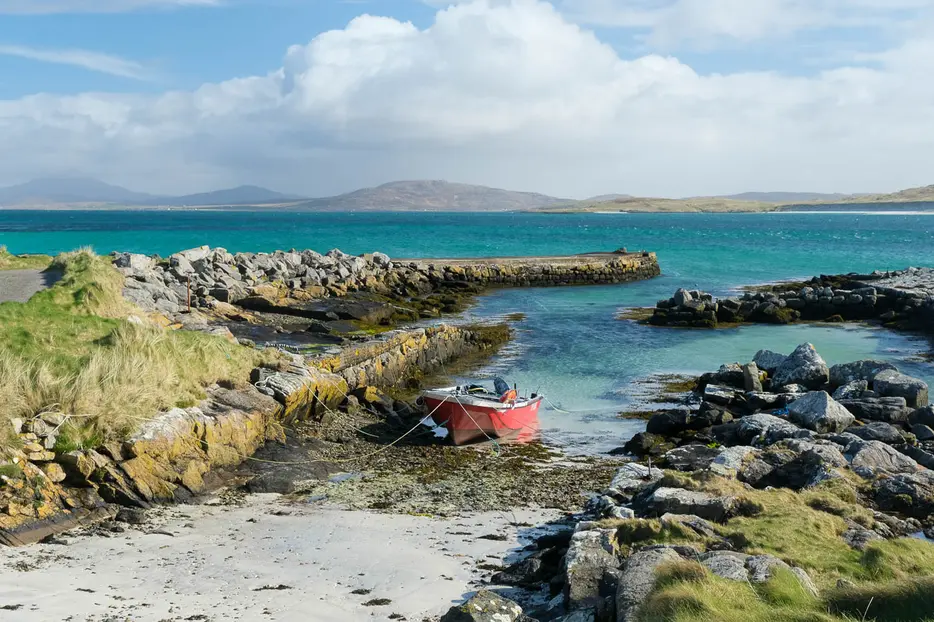
The Eoligarry peninsula is the northernmost part of Barra; this varied walk ascends its low hill for great views, visits a historic church and dun, and heads along some superb beaches. There is a cafe at the airport on the route.


Terrain
Minor roads, ascent and descent over rough hill pastures, and sandy beaches. Partially waymarked. Crosses grazing croftland, dogs must be kept under tight control.
Getting there
Start
Parking near the jetty at Eoligarry.
Public Transport
Bus service to Eoligarry, and also a slightly more frequent bus to the airport which is an alternative start point.
Start Grid Ref
NF713075

Stage 1
This walk can be started at Eoligarry jetty if using a car, or at the airport which may be a better choice if using public transport. From the jetty, head very briefly back to the road junction and take the right fork, then left at the next junction.

Stage 2
At a third junction the route turns right, but first visit the old church remains of Cille Bharra - dedicated to Saint Barr after whom the island is named. Check inside the small chapel to see a replica of the Kilbar stone - a viking grave which once stood here (the original is in the National Museum of Scotland). Outside in the cemetery is the grave of Compton MacKenzie - author of Whisky Galore.

Stage 3
Back on the road, keep left at yet another road junction (with a bus shelter) and then continue along the tarmac until the road bends sharp right close to Bagh na Clach. Here leave the road and head directly up the steep grassy hill to the left. It's boggy lower down but soon improves; on the top is Dun Sgurabhal, the crumbling remains of an iron age fort. There are also great views, both across to South Uist and Eriskay and over the great beaches of the Eoligarry peninsula.

Stage 4
From here the route heads ESE and then SE over bumpy ground, heavily grazed by cattle. There are very occasional marker posts to reach the tiny cairn on the summit of Beinn Eolaigearry, the highest summit on the peninsula through only 105m. From here make a pathless descent, heading SW and then WSW to drop down to a grassy track where it reaches the sands of Tràigh Eais.

Stage 5
Pass through a gate and head down onto this magnificent beach. Facing the open Atlantic, the breaking waves here can be spectacular. Though the sands are superb, the currents in the sea are dangerous. Head south along the beach for around 1.25km until a gap in the dunes becomes a path and follow this over the flower-strewn machair to reach the airport terminal building. There is a cafe here if refreshments are needed.

Stage 6
The airport terminal building is set on the massive beach on the eastern side of the peninsula - Tràigh Mhor. This beach serves as the runway - or rather three runways (the planes always land into the wind) - making this the only airport in the world on which scheduled flights take off and land from the beach. Check to see if the windsocks are flying; if they are then the beach is currently closed and you need to walk back to Eoligarry along the public road. Otherwise, head onto the beach and turn left to walk along the sand beside the dunes.

Stage 7
Unless the tide is very high you can walk back almost all the way back to the start on the sand, but keep close to the dunes. Pass through the tidal narrows of Caolas Orasaigh - at low tide it is possible to visit the island offshore here but take great care not to become stranded! Just before the house at Sanderling it is possible to leave the beach and use the road for the last short stretch to the jetty.

Route Profile
