Summary
A short walk over the low hill of the Ward of Greenmow before an exploration of the headland of Helli Ness and a coastal return via a couple of large glacial erratic rocks.


Terrain
Tracks and grassy coastlines, can be boggy in places; one fence has no stile.
Getting there
Start
Greenmow.
Public Transport
None to start.
Start Grid Ref
HU444288

Stage 1
Greenmow, on the east side of Aith Voe is reached by taking the A970 south from Lerwick and taking the Gord turning just before Bremirehoull. There is very limited verge parking in the tiny settlement of Greenmow, make sure you don't block any field entrances or passing places. From Greenmow start by walking up the track heading directly east between a house on the right and an agricultural shed on the left. After passing a couple more sheds on your right the track starts to climb gently. At the top of the rise bear left and keep following the track along the top of the Ward of Greenmow.

Stage 2
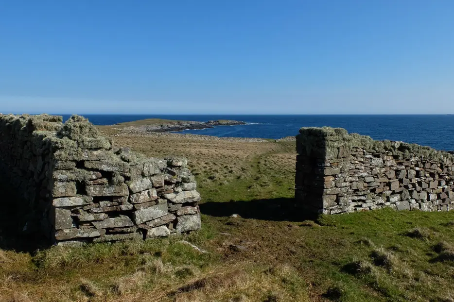
Continue straight ahead on a grassy track, which can be muddy at times. At the far end go through the two gates onto the open grazing land aiming diagonally right to go through a gap in the stone wall. The Holm of Helliness and Dedda Skerry can be seen ahead and the ruins of a settlement up on the left.

Stage 3
Head down to the coast and continue west to reach the small headland on the south side of Helli Ness, going through another gap in a stone wall. Seals can often be seen on Dedda Skerry and the patient or lucky may spot an otter. Once you have explored the headland follow the coast north keeping to the inland side of a deep geo and then climbing up to the trig point.

Stage 4
From the trig point, which has a good view north west to Bressay and Noss, the going is rougher and boggy in places but never difficult. Aim north to see Uxna Geo and then continue along the coast. At a stone wall next to a small inlet climb the stone stile near the coast and continue to a gate. Keep on the seaward side of the fence where there is a faint path. At Ravi Geo there is a stone stile near where the fence meets the wall. A a little further on it is easier to move to the inland side of the fence line to continue along the coast although there are a few fences that need to be climbed with care.

Stage 5
Once you have rounded Turri Ness and the settlement of Aith can be seen ahead you soon reach a fence just before an inlet. Don't climb the fence but turn left to head uphill keeping the fence on your right side to reach a farm gate.

Stage 6
Go through this and follow the track, looking out for the 'Muckle Stanes' on the right - these are two glacial erratic boulders deposited by moving glaciers during the ice age. Looking at the nearest one on the right you can see that it is flat on the bottom where it has been smoothed by the movement of the ice. Follow the track which soon reaches the road at Greenmow, turn left to return to the start point.

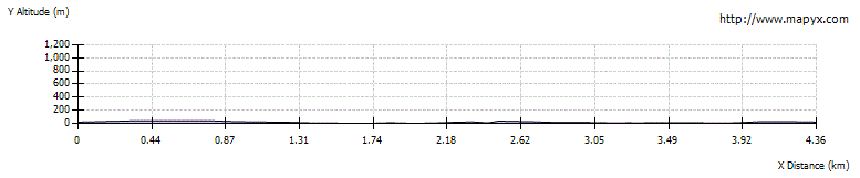
Route Profile