
David Lintern investigates the beaches and forests of Culbin Sands, a perfect place for family adventures with a fascinating past.
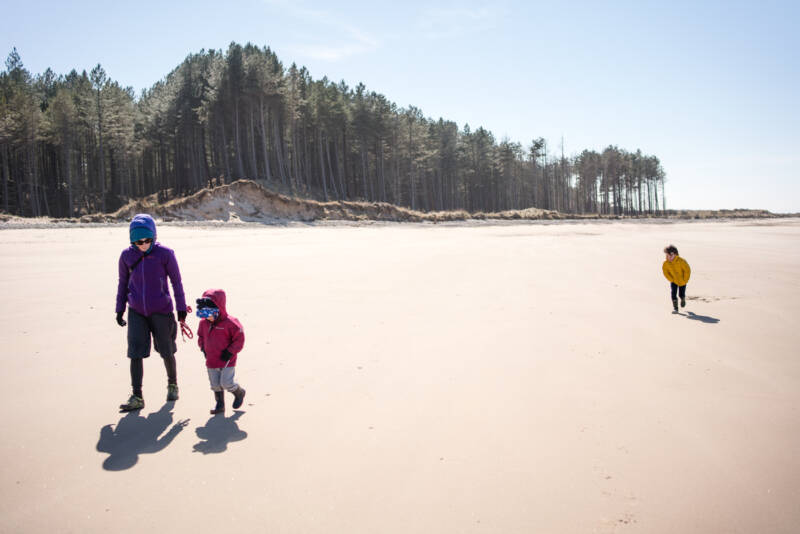
Unsurprisingly perhaps, Walkhighlands spends a fair amount of time in Scotland’s high lands, but you can’t be in the mountains every day of the year, and the Highlands is about far more than hills. Our nearest coastline stretches out from Inverness along the Moray firth, somewhere my family and I are slowly learning more about. My other half loves the wide horizons and the sound of the sea, especially. There’s a quiet and curious mix of fishing villages, heavy industry, holiday homes, wildlife reserves and decaying World War 2 relics here, and like many coastal fringes, it’s a place in constant flux, where nature and culture noticeably rub up against each other.
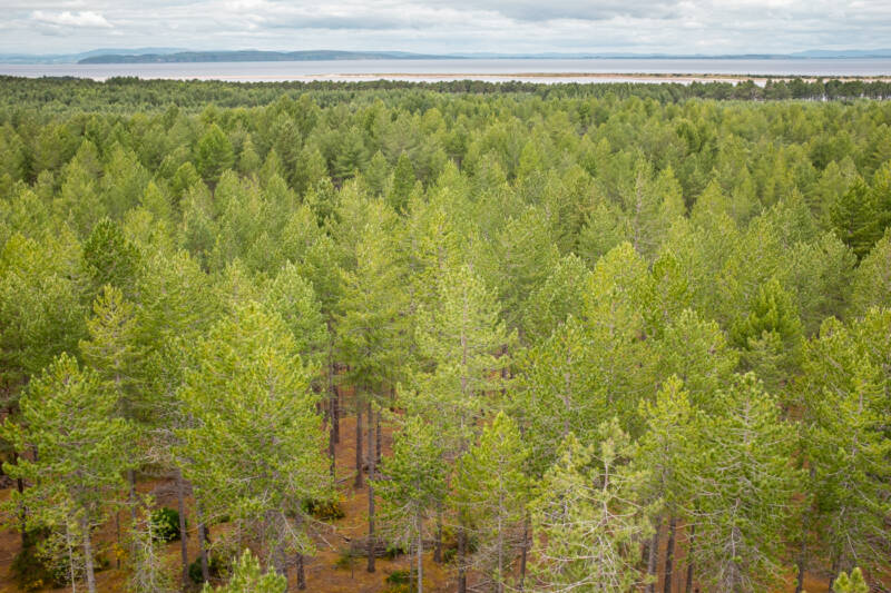
This seems especially true of Culbin Sands, sandwiched between Inverness airport and Findhorn Bay. With a mini mountaineer aged 4 in tow on my first visit, it seemed obvious to head for the high ground, but while the enormous tower on Hill 99 gave us a great vantage point over a vast sea of trees out to the sea beyond, Culbin refused to give up its secrets so readily.
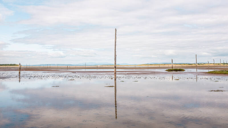
We got lost in a maze of woodland trails before arriving at a tidal mud flat called The Gut. Long wooden poles punctured the horizon, masts mirrored in the saline gloop. These are not the remains of an extinct Salmon fishing industry, as I’d first assumed – that’s to be found further west, apparently – but were instead erected to prevent enemy gliders landing during the early days of WW2. We got lost on the way back, too. It took us 2 or 3 more visits to begin to understand and appreciate the place. What we learnt subsequently is that the forest of Culbin is completely artificial. And that historically, it’s something of a parable.
People have lived on the fertile, alluvial plains between the rivers Findhorn and Nairn for thousands of years, and there are plenty of archaeological finds to show for it – decorative beads, arrow heads, shell middens and bronze age cremation grounds. Later, Culbin is described by a local historian (Bain) as ‘the garden and granary of Moray’ and while it probably wasn’t quite the paradise as painted, by 1693 it supported a population of 16 tenants on 6 holdings centred around a Mains (the finest farmhouse in the area) all owned by the Kinnaird family. But there was no building stone nearby, and no roads to transport stone from elsewhere, and so the tenants used what was to hand, locally: Bent (maram grass) for thatching, and turf to build both the walls of houses and the dykes that drained the fields. More turf was needed to mix with cattle dung for compost, to fertilise fields for crops.
Culbin had suffered from sandstorms for centuries, but with the topsoil increasingly freed of binding grasses by agricultural ‘improvement’, the scene was set for an ecological showdown. In 1694, a huge sandstorm completely engulfed the Mains and surrounding farms. The event altered the course of the river Findhorn and destroyed the village there also. John Martin, living in Elgin in the 1700s, describes “immense torrents of sand with a force and violence almost overpowering.” Bain later expanded on the event with characteristic flourish: “A man ploughing had to desert his plough in the middle of a furrow. The reapers in a field of late barley had to leave without finishing their work. In a few hours plough and barley were buried beneath the sand. The drift, like a mighty river, came on steadily and ruthlessly, grasping field after field, and enshrouding every object in a mantle of sand. In terrible gusts the wind carried the sand amongst the dwelling houses of the people, sparing neither the hut of the cottar nor the mansion of the laird. The splendid orchard, the beautiful lawn, all shared the same fate. In the morning after the first night of drift, the people had to break through the back of their houses to get out.”
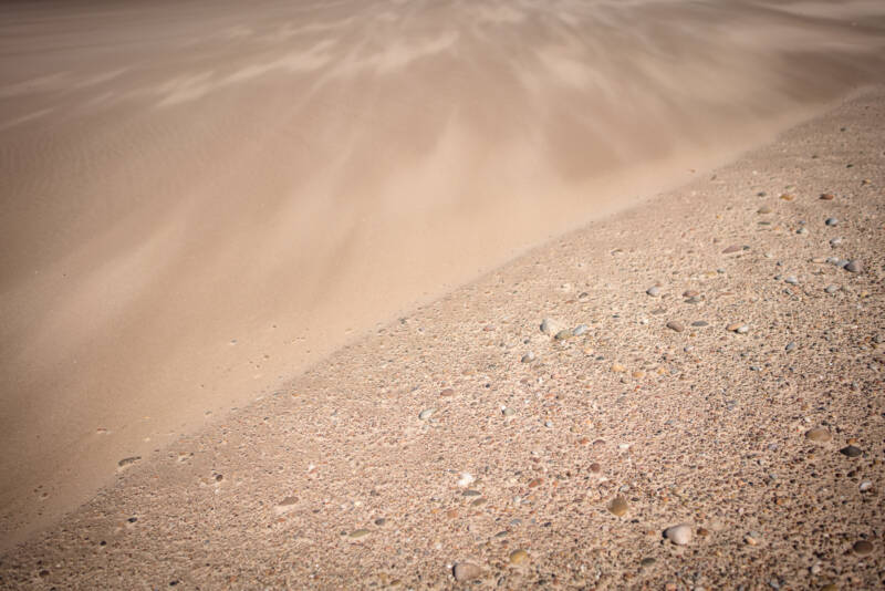
The following year, the Laird petitioned Scottish Parliament for a ‘relief from cess’ (a request for tax relief) on account of two thirds of the estate being buried under sand. We don’t know what happened to his petition, but we do know that Parliament banned the cutting of bent grass (maram), broom and juniper, making explicit reference to Culbin. It’s a significant early recognition of this type of habitat and its importance in stabilising coastal landscapes – a decision made not with nature in mind, but with people.
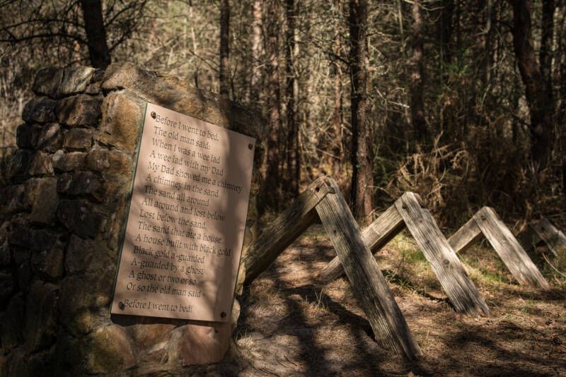
Two centuries later, a visitor to the desert of Culbin described “unspeakable loneliness – utter desolation”, but you wouldn’t know it now, surrounded by trees. What happened? In the 1920’s, the Forestry Commission purchased Culbin and began to plant trees to stabilise the seas of sand. There’s a fascinating film (linked below), which gives a sense of the scale and struggle involved. Early experiments proved fruitless as the trees failed to gain purchase, but thatching – previously part of the problem – now became part of the solution.
Brash was laid across the sands to improve cover and slow down drifts, and gradually the trees began to take root. At its height, the planting work supported 80 full time workers, many of whom lived on site in houses built by the Forestry Commission. Corsican Pines were most successful in the early days, but now there’s plenty of Scots and lodgepole pines cropped for timber, as well as naturally regenerating birch woodland, iridescent mosses, lichens, dragonflies, red squirrels, crested tits, otter, pine martin and plenty more besides. Right next door, those mud flats at the Gut are an RSPB reserve stuffed full of waders, ducks and geese. It’s an amazing place, full of nature, yet almost entirely human made.
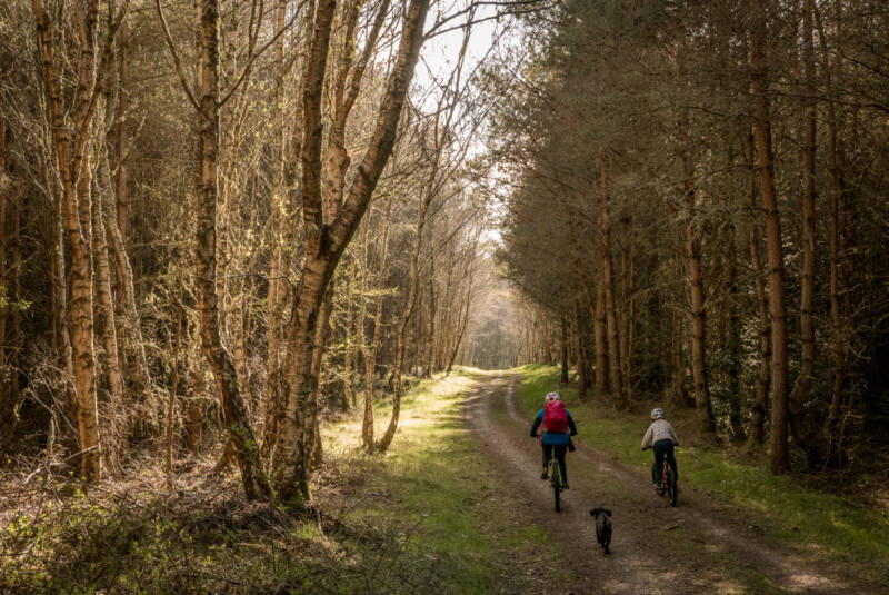
Culbin is also a forest with ‘high amenity value’, in the parlance of policy makers. There’s that valuable timber crop, and it’s well used for recreation by both locals and visitors, like us, from slightly further afield. The facilities (here, and along the coast at Rose isle) are fantastic – car parks are a good size and reasonably priced, there are playgrounds, picnic tables, toilets and trails for everyone from off-road wheelchair users to MTB and horse riders. There’s nicely evocative interpretation dotted around the trails as well, devised by the storyteller and historian Vee Walker, which provides a brilliant excuse for a treasure hunt with the kids. Sadly, overnight stays are not currently permitted, but the setup has the potential to match the kinds of informal forest campsites you find in France and Spain, places that bring people of all creeds together to explore what nature means to them.
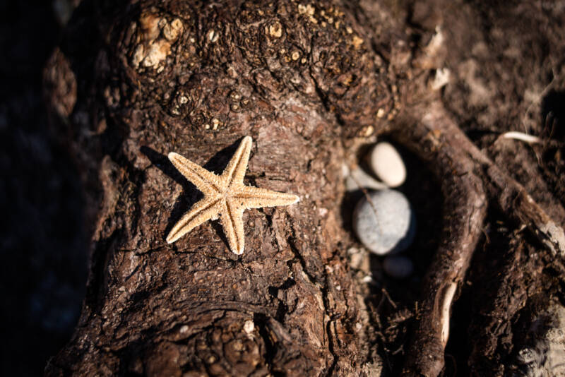
With noisy, boisterous kids, my gang aren’t the world’s best bird watchers, but we love to beachcomb, and especially love the dragonfly pool, and the ghostly, shoreside deadwood at Buckie Loch. The dragonfly pool is another artificially created world-within-a-world that hums with dozens of these colourful miniature predators in the summer, and the eerie woods at Buckie were killed off by a flood of sea water. Maybe one day it will become a freshwater loch again. It all depends.
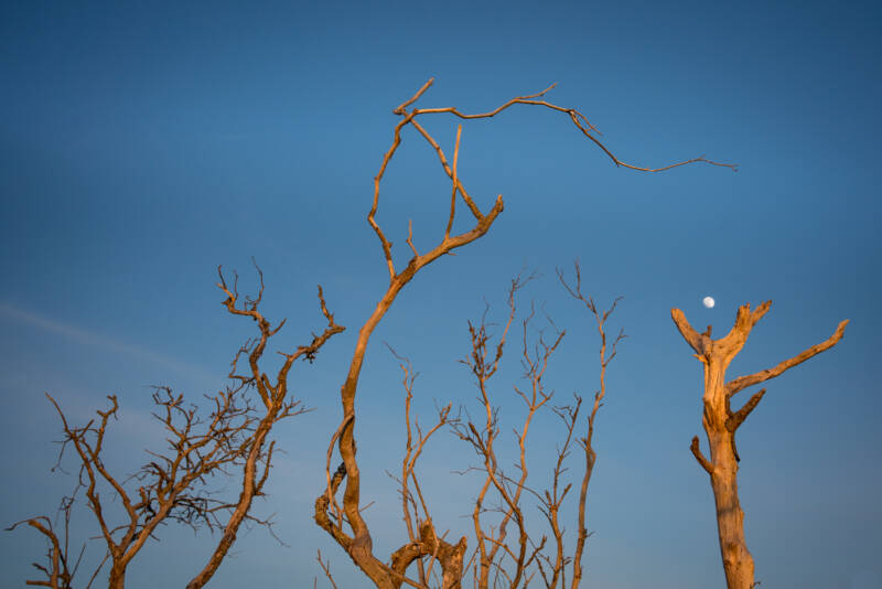
Culbin is a little bit strange. It’s easy to get lost in the forest, and the mossy, sandy soils glow weirdly in both sun and shade. But I find it all oddly hopeful, as if Mars has been terraformed. The local people I’ve met there clearly love it, and it’s history speaks of the ebb and flow of environmental change and shows what can be done if there’s a will. That all depends on what we want, and why. Which brings me tidily to a close, and some wise words from philosopher David Graeber: “The ultimate, hidden truth of the world is that it is something that we make, and could just as easily make differently.”
