
The St Magnus Way on Orkney is the latest long distance route to be added to the Walkhighlands app. The 94km pilgrim route was established in 2017 to celebrate the 900th anniversary of the martydom of St Magnus and crosses the varied and peaceful landscapes of Orkney, an archipelago of islands situated off the far north coast of mainland Scotland.
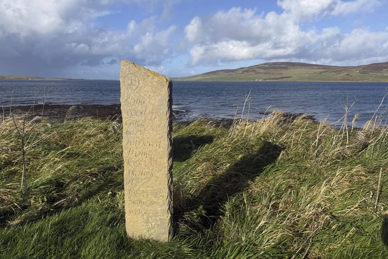
The route begins with a short stroll on the island of Egilsay, visiting the site where Magnus was murdered. Magnus Erlendsson shared the Earldom of Orkney with his cousin, and rival, Haakon in the early 1100s. After agreeing to meet Haakon, for talks, Haakon ordered his cook, Lifolf, to kill Magnus who was duly dispatched by an axe blow to the head. Magnus was then buried at Birsay, and after a number of miracles, his relics were brought to Kirkwall as part of the building of the great cathedral. The Way is therefore a pilgrimage route tracing the outline of the journey Magnus’ remains made – from Egilsay, to Birsay, to Kirkwall, the Orkney islands’ capital.
The route was created and is managed by a local charity, Orkney Pilgrimage and is divided into 6 stages and is designed to be easily walkable within a week. Waymarked for most of the route, the trail is often very rough underfoot providing a mix of challenging hiking as well as sections of road walking. Completing the whole route provides a good overview of Orkney’s landscape, history and culture. The Way takes in a ferry ride, coastal beaches and dramatic cliffs, an impressive Iron-Age broch and a neolithic chambered cairn, fertile farmland and heather moorland to finish in the vibrant historic centre of Kirkwall.
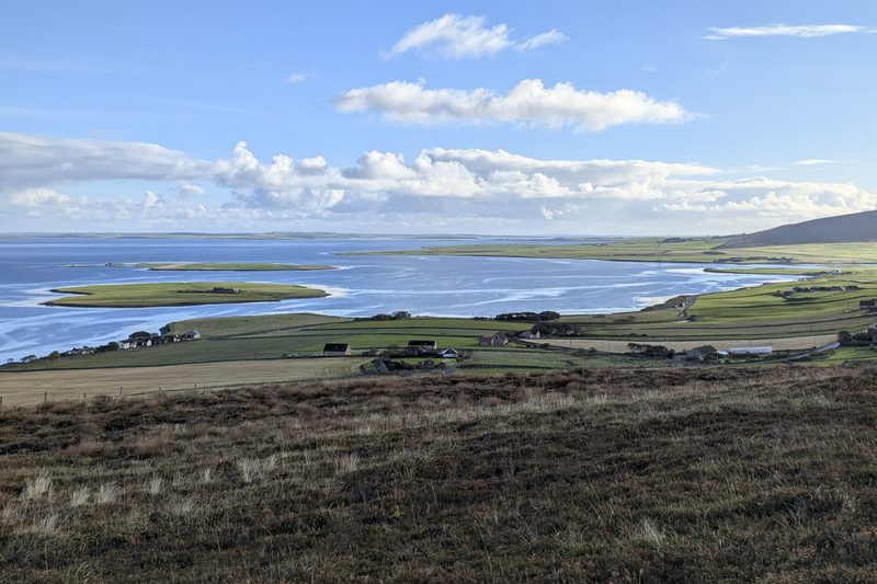
Whilst it is possible to wild camp, suitable, sheltered spots away from livestock are rare, but there are also a couple of campsites and sufficient serviced accommodation to complete the route with a bed every night. There are bus links at the ends of each stage so the route could also be completed from a central base. The trail is tough-going in places underfoot and in poor weather can become very waterlogged, the route is likely to be driest between April and August. Further information about the Way, particularly spiritual and historical material can be found on the St Magnus Way website and the cathedral hosts information about the Way and a book to record the thoughts of those who complete the route.
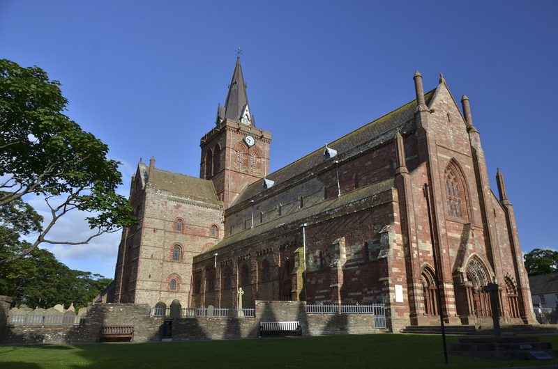
Researched on the ground and with OS-based mapping and detailed descriptions, the Walkhighlands app allows the whole St Magnus Way to be downloaded and used without phone signal and shows your live position on the map as you walk. The app is designed to use minimal battery and can also be used to plan a longer holiday on Orkney with over 60 walks across the islands including the must-see Ring of Brogar and the Old Man of Hoy. Check out the St Magnus Way here and maybe start planning your next long distance walk.
If you don’t already have it, the Walkhighlands app can be downloaded from the Android and Apple app stores. Walkhighlands is a not-for-profit social enterprise set up to serve walkers in Scotland featuring over 2,200 walks including 39 long distance routes.