Summary
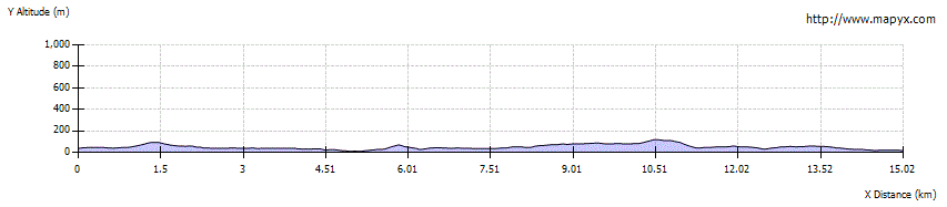
This linear walk was created by the local estate, owned by a Community Trust (Urras Oighreachd Chàrlabhaigh). It crosses boggy moorland with some extensive views over the moors and coastline, as runs from Carloway to Callanish. Both ends are on a road with public transport. The Callanish stones are 1.3km from the end, whilst the Dun Carloway broch is 1.6km from the start (both along roads).

Grade

Bog Factor
Terrain
Varied - some tracks but mainly rugged peat moorland, pathless and very boggy in places, mostly waymarked but some navigation skills needed.
Getting there
Start
At NB202420 on the A858, south of the former school which is being redeveloped as a community centre.
Public Transport
Buses to Carloway and Callanish.
Start Grid Ref
NB202420