
Summary
This circular walk takes in the superbly engineered old footpath from Urgha to Rhenigidale, with stunning coastal views, before following a quiet minor road to the east of Todun. The return is then along the old path over Braigh an Ruisg and past Lochanan Lascadail.


Terrain
Waymarked footpaths and minor roads, with a good deal of ascent and descent.
Getting there
Start
Parking area on Tarbert-Scalpay road, just east of Lochanan Lascadail.
Public Transport
Bus from Tarbert to Scalpay passes start; infrequent bus to Rhenigidale.
Start Grid Ref
NB184004

Stage 1
This route starts from just east of Lochanan Lascadail, near Urgha and around 3km from Tarbert on the road to Scalpay. There is a parking area just east of the bridge with an information board and footpath sign. Start by following the signed path which is boggy at first but rapidly improves as it climbs gently uphill. After passing a memorial, the route climbs steadily through the rocky landscape. Until the road was built in the 1980s this path was used weekly by children attending the secondary school in Tarbert. Looking north west there is a good view of the pointed peak of Clisham. The top of the pass is marked by a cairn, and the descent is gentle at first with good sea views.

Stage 2
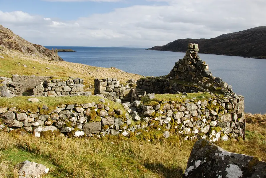
Soon a path junction is marked with a small cairn and stone marker. The right fork leads down to the deserted village of Molinginis. This makes a worthwhile there and back detour, adding upto 2 hours and a substantial climb back to this point to the walk - although a path cutting off this triangle and following the coast is shown on the map, it is extremely rough and not recommended. Soon the descent gets steeper with a number of zig zags easing the gradient before the path reaches the sea at Loch Trolamaraig. Cross the bridge at the back of the pebbly beach and start the long but less steep climb uphill, where the path splits the left hand one is the main path but both rejoin higher up.

Stage 3
As the path winds around the dramatic coastline, the genius of its construction is evident. Cross a bridge and soon the remains of a settlement are passed as the path traverses the steep slopes.

Stage 4
Go through a gate and eventually climb up to the road. Now turn left along the road. This climbs up to the east of Todun, passing three small lochs along the way. It then descends in a series of zig-zags to Eilean Anabaich, and runs along the shore of Loch Maraig.

Stage 5
Just before the bridge over the river is a footpath signed Urgha 6km - turn left onto this path. It passes through a gate and climbs beside a burn before eventually meeting another path at a t-junction. Turn left here, following the very clear route southwards into the bealach, Braigh an Ruisg, which is marked by a cairn. Soon there is a good view of Lochanan Lascadail ahead.

Stage 6
The path swings left and then right as it descends towards the loch. The going underfoot is quite good by Harris standards, with bridges over the small feeder burns coming down from the right, and a bench as the loch is reached. The path continues along the west side of the loch before finally climbing away to meet the road up to the right. Turn left along the road to return to the parking area at the start.

Route Profile
