
Summary
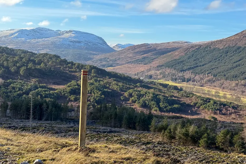
This circular walk on the south side of Glen Lyon follows winding paths through woods and moorland, visiting small waterfalls, lochans and fine viewpoints. Although the trails are waymarked, it is quite rough and steep at times.


Terrain
Mostly waymarked paths, but rough and steep at times. Burn crosses using stones.
Getting there
Start
Parking area at NN570453.
Public Transport
Start Grid Ref
NN570453


Stage 1
There is a parking area with a wooden noticeboard on the road descending from Ben Lawers to Glen Lyon. This walk begins from the parking which is a little under 2km from the road junction at the floor of the glen. Waymarked trails in blue, red and black begin here - this route combines the best of all three. Begin by crossing the road and taking the surfaced path marked in blue that runs downstream by the burn on the far side. The surfaced section soon ends but the path continues by the burn, with some fine waterfalls and beautiful old pines.

Stage 2
Eventually the path leaves the burn and climbs a couple of zig-zags before reaching the road. The blue route goes straight across here and then turns back towards the car park - ignore it and instead turn left down the road. Continue along it for 750m; as you reach the floor of the glen, and immediately after a track goes off to the left turn right onto a path with a black marker post.

Stage 3
The path keeps to the right of the wall at first. After this bends left, the path heads through a gap and climbs steeply uphill to the right of a fence. It soon levels off and reaches a gate in a deer fence. Go through the gate here, ignoring the path off right (both routes marked in black). The path now undulates through the lower edge of the woods, with a couple of tiny pools visible down to the left.

Stage 4
Continue until the path leads across a burn. On the far side it turns right uphill, climbing the grassy slopes between two burns; the path is faint in places here but there are old wooden and stone steps in places. The ascent is fairly steep at times; part way there is an attractive waterfall.

Stage 5
Higher up the gradient eases and a clearer section of path is joined. Follow this uphill to reach a series of forest lochans. The path passes to the right of the first, and then leads across a long wooden boardwalk. Not far beyond a forest track is reached. Turn right along this. After 100m turn right onto a constructed path once more (black marker). This rejoins the track after 400m; turn right but almost immediately turn right again onto a path heading off into the trees.

Stage 6
The path passes through the forest to a junction - turn left here (red marker only), climbing up to reach an open heathery ridge. Ascend this for a fine view up the glen to the Munro of Stuchd an Lochain. It's worth making a short diversion to the summit to the right for the best view down Glen Lyon, guarded by the Càrn Mairg range of mountains. Return along the ridge the other way. Ignore a path off right and instead continue ahead. Eventually the path descends by a burn, crossing it twice on stones before reaching the road - if in spate it may be necessary to stay on the near bank though this is rougher.

Stage 7
There's a path that runs parallel to and above the road on the near side - turn along this until it returns to the parking area and the start of the walk.

Route Profile
