Summary
This straightforward, waymarked walk through forestry plantations offers some fine views over Loch Eynort, with picnic benches. The climbs involved are fairly gradual.


Terrain
Forest tracks throughout; some ascent. Waymarked.
Getting there
Start
Eynort.
Public Transport
None to walk start.
Start Grid Ref
NG385268


Stage 1
To reach the start of the walk, turn left onto a rough tarred track from the minor road just short of Eynort village; it has a footpath sign for Glen Brittle circuit. Continue over the cattle grid until a junction with a walk information board. There is parking on the immediate left of the track forking left here; alternatively there is more space reached by continuing ahead on the main track. Begin the walk by following the main track ahead through the forest. It soon passes the cottages at Grula.

Stage 2
From here there is a first glimpse of Loch Eynort. Continue ahead on the main track; the whole route is waymarked in blue. Much of the route is hemmed in by the trees. Pass through a gate at one point. There is a great view across the loch to Faolainn at one point.

Stage 3
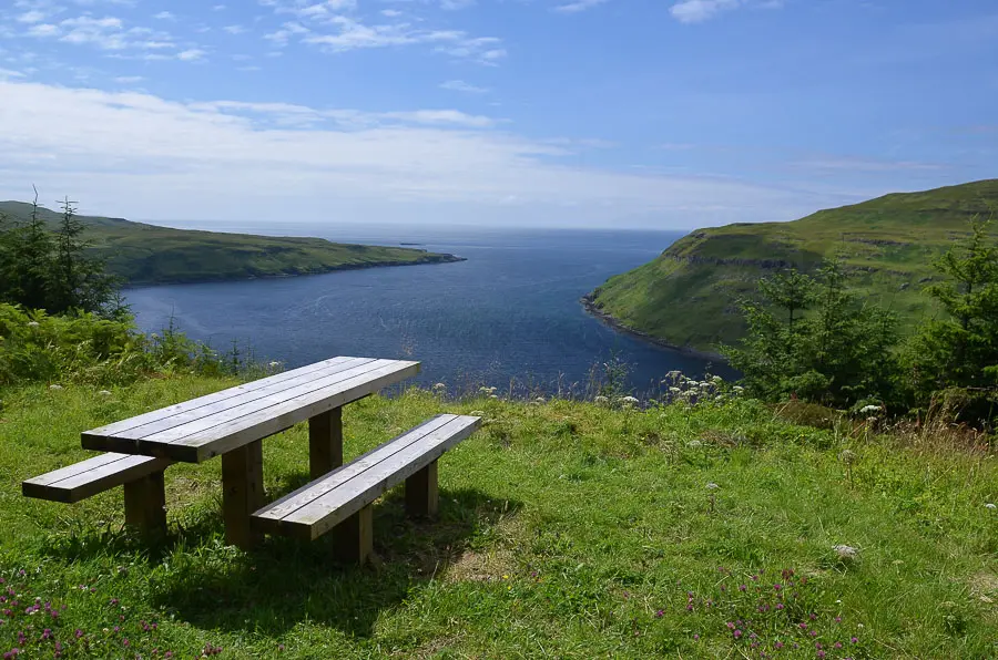
Pass a picnic table with more excellent views, then continue along the track until a signposted junction. You could opt for a much longer walk by looping over to Glen Brittle from this point, but our route turns sharp left (signed Yellow/Blue route).

Stage 4
The track now climbs gently back through the forestry at a higher level. There are glimpses of the Cuillin ridge looking back, and also plenty of good spots to look over Loch Eynort - not least from a picnic table.

Stage 5
Continue on the track as it swings right, then follow it as it swings back left (ignoring the track off ahead/to the right) - still following the blue markers. Eventually another signed junction is reached; continue ahead here. The route now descends in a series of zig-zags - this section is known as the Cuckoo Road. There are attractive waterfalls at a couple of places where the track crosses the burn. Eventually the start point is reached through a gate.

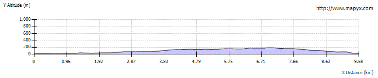
Route Profile